Faranah
| Faranah | |
|---|---|
| Sub-prefecture and town | |
| Nickname(s): Sankaran | |
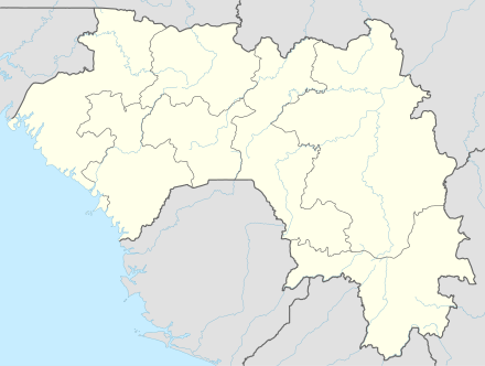 Faranah Location in Guinea | |
| Coordinates: 10°02′N 10°44′W / 10.033°N 10.733°W | |
| Country |
|
| Region | Faranah Region |
| Elevation | 456 m (1,496 ft) |
| Population (2014 census) | |
| • Total | 78,108 |
Faranah is a town and sub-prefecture in central Guinea, lying by the River Niger. As of 2014 it had a population of 78,108 people.[1] The town is mainly inhabited by the Malinke people.
History
Sékou Touré was born in what was then a village, and after becoming president developed it with a mosque, palace and conference centre. It lies immediately south west of the Haut Niger National Park. The town is served by Faranah Airport.
Climate
| Climate data for Faranah | |||||||||||||
|---|---|---|---|---|---|---|---|---|---|---|---|---|---|
| Month | Jan | Feb | Mar | Apr | May | Jun | Jul | Aug | Sep | Oct | Nov | Dec | Year |
| Average high °C (°F) | 35.4 (95.7) |
37.1 (98.8) |
38.2 (100.8) |
37.8 (100) |
35.8 (96.4) |
32.8 (91) |
30.7 (87.3) |
30.7 (87.3) |
31.5 (88.7) |
32.4 (90.3) |
33.2 (91.8) |
33.8 (92.8) |
34.1 (93.4) |
| Daily mean °C (°F) | 22.3 (72.1) |
26.2 (79.2) |
28.6 (83.5) |
28.5 (83.3) |
27.0 (80.6) |
25.4 (77.7) |
24.3 (75.7) |
24.3 (75.7) |
24.6 (76.3) |
25.2 (77.4) |
25.0 (77) |
22.6 (72.7) |
25.3 (77.5) |
| Average low °C (°F) | 8.9 (48) |
12.0 (53.6) |
15.3 (59.5) |
18.9 (66) |
18.1 (64.6) |
18.0 (64.4) |
18.0 (64.4) |
18.3 (64.9) |
18.0 (64.4) |
17.8 (64) |
13.1 (55.6) |
9.9 (49.8) |
15.5 (59.9) |
| Average precipitation mm (inches) | 1 (0.04) |
3 (0.12) |
9 (0.35) |
60 (2.36) |
145 (5.71) |
201 (7.91) |
240 (9.45) |
293 (11.54) |
277 (10.91) |
143 (5.63) |
46 (1.81) |
0.2 (0.008) |
1,418.2 (55.835) |
| Average precipitation days (≥ 1.0 mm) | 0 | 0 | 2 | 6 | 10 | 14 | 14 | 20 | 19 | 14 | 3 | 0 | 102 |
| Average relative humidity (%) | 44 | 39 | 42 | 55 | 68 | 75 | 80 | 80 | 79 | 77 | 66 | 52 | 63 |
| Source: NOAA[2] | |||||||||||||
Mining
Faranah is near major iron ore deposits.
Notable residents
- Mamadou Barry - Olympic Guinean long-distance runner
References
- ↑ "Guinea". Institut National de la Statistique, Guinea, accessed via Geohive. Retrieved 12 September 2014.
- ↑ "Faranah Climate Normals 1961–1990". National Oceanic and Atmospheric Administration. Retrieved July 6, 2015.
External links
Coordinates: 10°02′N 10°44′W / 10.033°N 10.733°W
Capital: Faranah | ||
| Sub-prefectures |  | |
This article is issued from Wikipedia - version of the 5/6/2016. The text is available under the Creative Commons Attribution/Share Alike but additional terms may apply for the media files.