Fakfak Regency
| Fakfak Regency Kabupaten Fakfak | ||
|---|---|---|
| Regency | ||
| ||
 Fakfak Regency 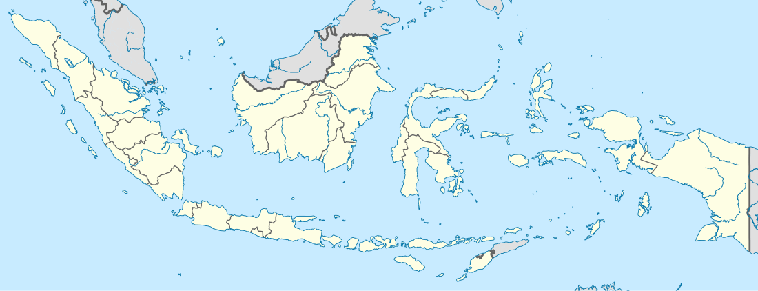 Fakfak Regency | ||
| Coordinates: ID 2°55′00″S 132°18′00″E / 2.9167°S 132.3000°ECoordinates: ID 2°55′00″S 132°18′00″E / 2.9167°S 132.3000°E | ||
| Country | Indonesia | |
| Province | West Papua | |
| Administrative centre | Fak-Fak | |
| Government | ||
| • Regent | Drs. Mohomad Uswanas, M.Si | |
| Area | ||
| • Total | 11,036.48 km2 (4,261.21 sq mi) | |
| Highest elevation | 2,000 m (6,562 ft) | |
| Lowest elevation | 0 m (0 ft) | |
| Population (2014) | ||
| • Total | 77,112 | |
| • Density | 7.0/km2 (18/sq mi) | |
| Time zone | EST (UTC+9) | |
| Website |
www | |

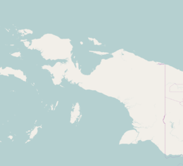
Fakfak Regency - formerly spelt "Fak-Fak" - is a regency of West Papua province of Indonesia. It covers an area of 11,036.48 km2, and had a population of 66,828 at the 2010 Census;[1] the latest official estimate (as at January 2014) is 77,112. The administrative centre is the town of Fakfak.
Administrative Districts
The regency comprises nine districts (kecamatan), tabulated below with their populations at the 2010 Census:[2]
| District | Population 2010 Census |
|---|---|
| Fakfak Timur (East Fakfak) | 2,992 |
| Karas | 2,597 |
| Fakfak | 33,171 |
| Fakfak Tengah (Central Fakfak) | 9,872 |
| Fakfak Barat (West Fakfak) | 4,122 |
| Kokas | 4,610 |
| Teluk Patipe (Patipe Bay) | 3,771 |
| Kramongmongga | 2,740 |
| Bomberay | 2,950 |
References
Regencies and cities of West Papua | ||
|---|---|---|
Capital: Manokwari | ||
| Regencies | ||
| Cities | ||
This article is issued from Wikipedia - version of the 10/8/2016. The text is available under the Creative Commons Attribution/Share Alike but additional terms may apply for the media files.