Etnesjøen
| Etnesjøen Etne | |
|---|---|
| Village | |
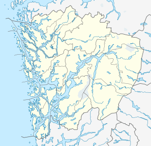 Etnesjøen  Etnesjøen Location in Hordaland county | |
| Coordinates: 59°39′55″N 05°56′13″E / 59.66528°N 5.93694°ECoordinates: 59°39′55″N 05°56′13″E / 59.66528°N 5.93694°E | |
| Country | Norway |
| Region | Western Norway |
| County | Hordaland |
| District | Sunnhordland |
| Municipality | Etne |
| Area[1] | |
| • Total | 1.17 km2 (0.45 sq mi) |
| Elevation[2] | 7 m (23 ft) |
| Population (2013)[1] | |
| • Total | 1,159 |
| • Density | 991/km2 (2,570/sq mi) |
| Time zone | CET (UTC+01:00) |
| • Summer (DST) | CEST (UTC+02:00) |
| Post Code | 5590 Etne |
Etnesjøen or Etne is the administrative centre of Etne municipality in Hordaland county, Norway. The village is located at the inner end of the Etnefjorden, along the European route E134 highway, about 8 kilometres (5.0 mi) south of the village of Skånevik and about 10 kilometres (6.2 mi) northeast of the village of Ølensjøen (in neighboring Vindafjord municipality).[3]
The village is located along the river Etneelva in a large river valley surrounded by mountains and a fjord. The lake Løkjelsvatnet lies about 10 kilometres (6.2 mi) west of the centre of the village of Etnesjøen. There are three historic churches in the greater Etnesjøen area: Gjerde Church, Grindheim Church, and Stødle Church.
The 1.17-square-kilometre (290-acre) village has a population (2013) of 1159, giving the village a population density of 991 inhabitants per square kilometre (2,570/sq mi).[1]
References
- 1 2 3 Statistisk sentralbyrå (1 January 2013). "Urban settlements. Population and area, by municipality.".
- ↑ "Etne (Hordaland)" (in Norwegian). yr.no. Retrieved 2015-03-31.
- ↑ Store norske leksikon. "Etnesjøen" (in Norwegian). Retrieved 2015-03-31.