Esmeralda Island
 | |
| Geography | |
|---|---|
| Area | 515.2 km2 (198.9 sq mi) |
| Coastline | 279.7 km (173.8 mi) |
| Highest elevation | 1,250 m (4,100 ft) |
| Administration | |
| Regions of Chile | Aisen Region |
Coordinates: 48°57′S 75°25′W / 48.95°S 75.42°W
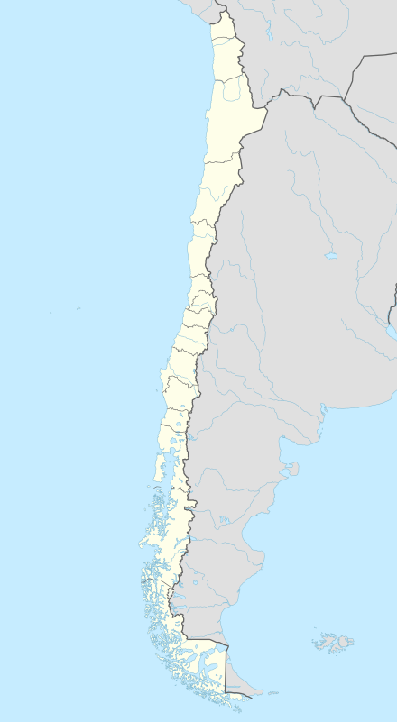
Esmeralda Island (Spanish: Isla Esmeralda) is an island in the Patagonian Archipelago in Magallanes y la Antártica Chilena Region, Chile.
See also
- Juan Guillermos Island also known as Esmeralda Island.
This article is issued from Wikipedia - version of the 11/18/2016. The text is available under the Creative Commons Attribution/Share Alike but additional terms may apply for the media files.