Escarra Peak
| Escarra Peak | |
|---|---|
| Punta Escarra | |
 | |
| Highest point | |
| Elevation | 2,760 m (9,060 ft) |
| Listing | List of mountains in Aragon |
| Coordinates | 42°44′2″N 0°26′15″E / 42.73389°N 0.43750°ECoordinates: 42°44′2″N 0°26′15″E / 42.73389°N 0.43750°E |
| Geography | |
 Escarra Peak Pyrenees | |
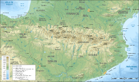
| Location | Jacetania, Aragon, Spain |
| Parent range | Pyrenees |
| Geology | |
| Mountain type | Karstic |
| Climbing | |
| First ascent | Unknown |
| Easiest route | From Sabiñánigo, Sallent de Gállego or Canfranc |
The Escarra Peak (Spanish: Punta Escarra) is a prominent mountain on the Spanish side of the Pyrenees, in the North of Jacetania comarca, in Aragon. The Escarra river has its sources beneath this peak.
This peak is part of a subrange known as Sierra de la Partacua located in an area of many high peaks.[1]
References
External links
This article is issued from Wikipedia - version of the 12/6/2015. The text is available under the Creative Commons Attribution/Share Alike but additional terms may apply for the media files.