Encanto, Rio Grande do Norte
| Encanto | |
|---|---|
| Municipality | |
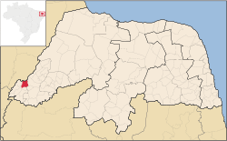 Location in Rio Grande do Norte state | |
 Encanto Location in Brazil | |
| Coordinates: 6°6′40″S 38°18′22″W / 6.11111°S 38.30611°WCoordinates: 6°6′40″S 38°18′22″W / 6.11111°S 38.30611°W | |
| Country |
|
| Region | Northeast Region |
| State | Rio Grande do Norte |
| Area | |
| • Total | 126 km2 (49 sq mi) |
| Population (2003) | |
| • Total | 4,822 |
| • Density | 38/km2 (99/sq mi) |
| Time zone | BRT (UTC-3) |
Encanto (lit. "charm"), is a municipality located in Rio Grande do Norte, Brazil, located within the microregion of Serra de São Miguel and mesoregion of Oeste Potiguar. According to IBGE, the estimated population in 2003 was 4,822 inhabitants. The territorial area is 126 km² and was created in 1963.
See also
References
External links
- Official website (Portuguese)
This article is issued from Wikipedia - version of the 5/21/2016. The text is available under the Creative Commons Attribution/Share Alike but additional terms may apply for the media files.