El Turbio
| El Turbio | |
|---|---|
| village | |
 El Turbio | |
| Coordinates: AR 51°41′S 72°5′W / 51.683°S 72.083°W | |
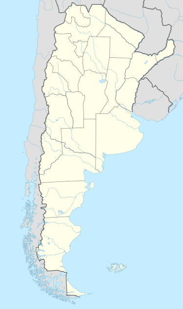
| Country |
|
| Province | Santa Cruz Province |
| Department | Güer Aike Department |
| Elevation | 185 m (607 ft) |
| Population (2001) | |
| • Total | 22 |
| CPA | Z9407 |
| Area code(s) | 02902 |
| Climate | Cfc |
El Turbio is a small village belonging to Veintiocho de Noviembre municipality in Santa Cruz Province in southern Argentina.[1]
Climate
| Climate data for El Turbio (1961–1990) | |||||||||||||
|---|---|---|---|---|---|---|---|---|---|---|---|---|---|
| Month | Jan | Feb | Mar | Apr | May | Jun | Jul | Aug | Sep | Oct | Nov | Dec | Year |
| Average high °C (°F) | 16.5 (61.7) |
15.8 (60.4) |
14.2 (57.6) |
11.4 (52.5) |
6.9 (44.4) |
5.2 (41.4) |
4.6 (40.3) |
5.8 (42.4) |
9.2 (48.6) |
12.3 (54.1) |
13.6 (56.5) |
15.5 (59.9) |
10.9 (51.6) |
| Daily mean °C (°F) | 10.4 (50.7) |
9.9 (49.8) |
8.3 (46.9) |
6.3 (43.3) |
2.5 (36.5) |
1.2 (34.2) |
0.4 (32.7) |
1.0 (33.8) |
3.9 (39) |
6.4 (43.5) |
7.9 (46.2) |
9.8 (49.6) |
5.7 (42.3) |
| Average low °C (°F) | 5.6 (42.1) |
4.8 (40.6) |
3.2 (37.8) |
0.7 (33.3) |
−1.8 (28.8) |
−3.3 (26.1) |
−4.3 (24.3) |
−3.2 (26.2) |
−0.2 (31.6) |
1.3 (34.3) |
2.1 (35.8) |
3.6 (38.5) |
0.7 (33.3) |
| Average precipitation mm (inches) | 35 (1.38) |
37 (1.46) |
47 (1.85) |
40 (1.57) |
37 (1.46) |
28 (1.1) |
30 (1.18) |
42 (1.65) |
24 (0.94) |
31 (1.22) |
29 (1.14) |
32 (1.26) |
412 (16.22) |
| Source: Food and Agriculture Organization[2] | |||||||||||||
References
- ↑ Ministerio del Interior (Spanish)
- ↑ "FAOClim-NET: Agroclimatic database management system". Food and Agriculture Organization. Retrieved 29 July 2016.
Coordinates: 51°41′S 72°05′W / 51.683°S 72.083°W
This article is issued from Wikipedia - version of the 7/29/2016. The text is available under the Creative Commons Attribution/Share Alike but additional terms may apply for the media files.