El Tamarindo Airport
| El Tamarindo Airport | |||||||||||
|---|---|---|---|---|---|---|---|---|---|---|---|
| IATA: none – ICAO: MSET | |||||||||||
| Summary | |||||||||||
| Airport type | Public | ||||||||||
| Location | El Tamarindo, El Salvador | ||||||||||
| Elevation AMSL | 10 ft / 3 m | ||||||||||
| Coordinates | 13°09′45″N 087°54′17″W / 13.16250°N 87.90472°WCoordinates: 13°09′45″N 087°54′17″W / 13.16250°N 87.90472°W | ||||||||||
| Map | |||||||||||
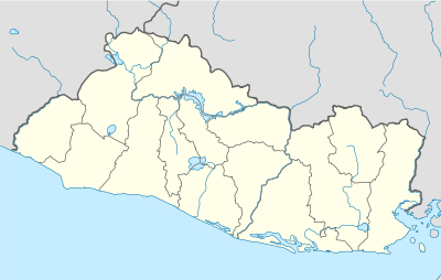 MSET Location in El Salvador | |||||||||||
| Runways | |||||||||||
| |||||||||||
El Tamarindo Airport (ICAO: MSET) is an airport serving El Tamarindo, a city in El Salvador.[1]
References
- 1 2 Airport information for MSET at World Aero Data. Data current as of October 2006.Source: DAFIF.
External links
- Airport information for MSET at Great Circle Mapper.
This article is issued from Wikipedia - version of the 12/4/2016. The text is available under the Creative Commons Attribution/Share Alike but additional terms may apply for the media files.