El Senbellawein
| El Senbellawein | |
|---|---|
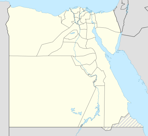 El Senbellawein Location in Egypt | |
| Coordinates: 30°52′47″N 31°28′10″E / 30.87972°N 31.46944°E | |
| Country |
|
| Governorate | Dakahlia |
| Time zone | EST (UTC+2) |
El Senbellawein (Egyptian Arabic: السنبلاوين IPA: [es senbellæˈweːn, -sem-]) is a city in the Dakahlia Governorate of Egypt. Located about 20 kilometres (12 mi) south of el-Mansurah, it has a population of around 435,000 inhabitants.
Famous residents include political activist Ahmed Lutfi el-Sayed, singer Umm Kulthum, and geologist Farouk El-Baz.
Location
Senbellawein is in the north of Egypt, 100 kilometres (60 mi) north of Cairo, and 20 kilometres (12 mi) at the south of Mansoura.
Climate
Köppen-Geiger climate classification system classifies its climate as hot desert (BWh),[1] as the rest of Egypt.
| Climate data for El Senbellawein | |||||||||||||
|---|---|---|---|---|---|---|---|---|---|---|---|---|---|
| Month | Jan | Feb | Mar | Apr | May | Jun | Jul | Aug | Sep | Oct | Nov | Dec | Year |
| Average high °C (°F) | 18.5 (65.3) |
19.6 (67.3) |
22.5 (72.5) |
26.5 (79.7) |
31.6 (88.9) |
33.1 (91.6) |
33 (91) |
33.3 (91.9) |
31.8 (89.2) |
28.9 (84) |
24.7 (76.5) |
20.2 (68.4) |
26.97 (80.53) |
| Daily mean °C (°F) | 12.4 (54.3) |
13.2 (55.8) |
15.7 (60.3) |
19.1 (66.4) |
23.4 (74.1) |
25.6 (78.1) |
26.6 (79.9) |
26.7 (80.1) |
25 (77) |
22.7 (72.9) |
19.1 (66.4) |
14.3 (57.7) |
20.32 (68.58) |
| Average low °C (°F) | 6.3 (43.3) |
6.8 (44.2) |
8.9 (48) |
11.7 (53.1) |
15.2 (59.4) |
18.2 (64.8) |
20.3 (68.5) |
20.2 (68.4) |
18.3 (64.9) |
16.5 (61.7) |
13.6 (56.5) |
8.5 (47.3) |
13.71 (56.68) |
| Average precipitation mm (inches) | 11 (0.43) |
7 (0.28) |
6 (0.24) |
3 (0.12) |
3 (0.12) |
0 (0) |
0 (0) |
0 (0) |
0 (0) |
4 (0.16) |
7 (0.28) |
9 (0.35) |
50 (1.98) |
| Source: Climate-Data.org (altitude: 11m)[1] | |||||||||||||
Economy
Sinbellawein's economy is based on agriculture and services sectors as well which it offers for many of the surrounding 282 villages that are under its administration. Car repairing and car tanks production also play a large role in the economy. Al Aseil Pasta& flour factory is producing most of the city needs.There is also Mag factory for making pipes.
Transport
Auto rickshaw (tuk tuk) is a motor vehicle that is one of the chief modes of transport across El Senbellawein and small villages around it. There are also a bus station in the centre of the city which helps travellers to Cairo, Mansoura, Zagazig, Mahala, etc.
References
- 1 2 "Climate: Al Sunbullawayn - Climate graph, Temperature graph, Climate table". Climate-Data.org. Retrieved 2014-02-06.
External links
Coordinates: 30°52′47″N 31°28′10″E / 30.879834°N 31.469479°E