El Rama
| El Rama | |
|---|---|
| Municipality | |
|
El Rama in 1894 | |
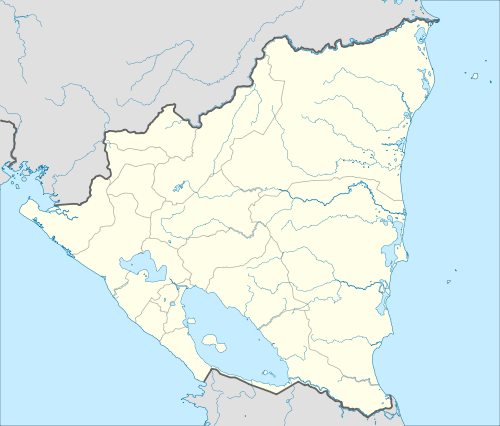 El Rama Location in Nicaragua | |
| Coordinates: 12°09′N 84°13′W / 12.150°N 84.217°W | |
| Country |
|
| Department |
|
| Area | |
| • Municipality | 2,169 sq mi (5,618 km2) |
| Population (2005) | |
| • Municipality | 52,482 |
| • Urban | 14,838 |
| Climate | Am |
| Website | Manfut-ElRama |

El Rama is a municipality in the South Caribbean Coast Autonomous Region of Nicaragua.[1]
It is along the Escondido River which branches off into three other rivers: the Sumi, Rama, and Escondido. It is home to an important Atlantic/Caribbean port. Its population is approximately 50,000 people.
History
Rama is an old settlement, whose name is reminiscent of their first settlers, the Caribbean indigenous Rama, once populate the territories of the present municipalities of Bluefields and Rama. Unlike the Miskito, this ethnic group did not subordinated to the British and other European nations from 1633. Ethnicity also fought pirates and Spanish conquistadors who sought to enslave during the conquest.
The municipality increased its importance in the late nineteenth century, with the beginning of the extraction of timber, rubber and banana enclave by US companies. This economic activation caused a strong flow from other parts of the country as well as citizens of Chinese origin, who were primarily devoted to trade. The construction of the Managua-Rama highway facilitated successive waves of migration of peasants
Settlements
There are a total of 98 communities: among which we can to mention:
- La Esperanza: 8 kilometres (5.0 miles) northwest of Rama, on the highway to Managua, the second in population and importance, with an urban population of 3500 inhabitants .
- Wapi: Located 32 kilometres (20 miles) northwest of Rama, with an urban population of 2,500 inhabitants, according to a municipal census unfinished houses more than 124.
- Other minor places, but with a tendency to develop as villages, are: El Recreo, El Colorado, El Pavon, Aguas Calientes, Maria Cristina Gaitan, Magnolia, Las Iguanas, El Pedregal, La Union, El Arene, El Castillo and St Geronimo.
Twin cities
See also
- Rama people
- Facebook Page
References
- ↑ Inifom Ficha Municipal El Rama
Capital: Bluefields | ||
| Municipalities |  | |
Coordinates: 12°20′00″N 84°40′00″W / 12.3333333333°N 84.6666666667°W