El Palomar Airport
| El Palomar Airport | |||||||||||
|---|---|---|---|---|---|---|---|---|---|---|---|
| IATA: EPA – ICAO: SADP | |||||||||||
| Summary | |||||||||||
| Airport type | Public / Military | ||||||||||
| Location | El Palomar, Argentina | ||||||||||
| Elevation AMSL | 18 m / 59 ft | ||||||||||
| Coordinates | 34°36′36″S 058°36′45″W / 34.61000°S 58.61250°WCoordinates: 34°36′36″S 058°36′45″W / 34.61000°S 58.61250°W | ||||||||||
| Map | |||||||||||
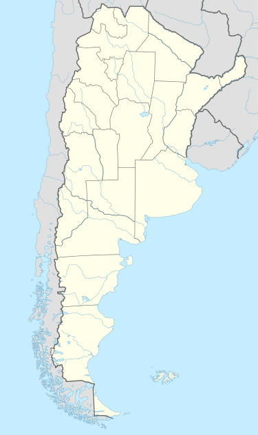 SADP Location of the airport in Argentina | |||||||||||
| Runways | |||||||||||
| |||||||||||
El Palomar Airport (IATA: EPA, ICAO: SADP), is a military airport in El Palomar, Argentina. It is the homebase of Argentine Air Force 1st Air Brigade (Spanish: Primera Brigada Aérea), located 18 km (11 mi) west of Buenos Aires, near the El Palomar station of the San Martín railway line.
Facilities
The airport resides at an elevation of 59 feet (18 m) above mean sea level and it has one runway designated 16/34 which measures 6,923 by 164 feet (2,110 m × 50 m).
This airport was being used as a second back up for Aeroparque Jorge Newberry (After Argentina's international airport; Ezeiza) due to maintenance of their runways around November 2010.
References
- ↑ Airport information for SADP at World Aero Data. Data current as of October 2006.Source: DAFIF.
- ↑ Airport information for SADP at Great Circle Mapper. Source: DAFIF (effective October 2006).
External links
This article is issued from Wikipedia - version of the 12/4/2016. The text is available under the Creative Commons Attribution/Share Alike but additional terms may apply for the media files.