El Debba Airport
| El Debba Airport | |||||||||||
|---|---|---|---|---|---|---|---|---|---|---|---|
| IATA: EDB – ICAO: HSDB | |||||||||||
| Summary | |||||||||||
| Airport type | Public | ||||||||||
| Serves | Al Dabbah | ||||||||||
| Elevation AMSL | 843 ft / 257 m | ||||||||||
| Coordinates | 18°00′50″N 30°57′35″E / 18.01389°N 30.95972°ECoordinates: 18°00′50″N 30°57′35″E / 18.01389°N 30.95972°E | ||||||||||
| Map | |||||||||||
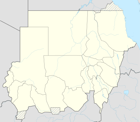 EDB Location of the airport in Sudan | |||||||||||
| Runways | |||||||||||
| |||||||||||
|
Source: Google Maps[1] Width 100 ft (30.5 m), Parking apron 420 ft x 160 ft (128 m x 47.7 m) | |||||||||||
El Debba Airport (IATA: EDB, ICAO: HSDB) is an airport serving the town of Al Dabbah in Sudan.
See also
 Aviation portal
References
- OurAirports - Sudan
- Great Circle Mapper - El Debba
- El Debba
- Google Earth
External links
- Aeronautical chart for HSDB at SkyVector
This article is issued from Wikipedia - version of the 12/4/2016. The text is available under the Creative Commons Attribution/Share Alike but additional terms may apply for the media files.