Eisenhut (mountain)
| Eisenhut | |
|---|---|
 View from Mt. Rinsennock | |
| Highest point | |
| Elevation | 2,441 m (8,009 ft) [1] |
| Prominence | 800 m (2,600 ft) [1][2] |
| Coordinates | 46°57′12″N 13°55′34″E / 46.95333°N 13.92611°ECoordinates: 46°57′12″N 13°55′34″E / 46.95333°N 13.92611°E |
| Geography | |
| Parent range |
Carinthian-Styrian Alps Gurktal Alps |
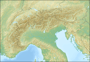
The Eisenhut is a mountain in the Central Eastern Alps located in Austria. At 2,441 metres (8,009 ft), it is the highest peak of the Gurktal Alps and the Carinthian-Styrian Alps.
Geography
It is located northeast of the Turracher Höhe Pass. Administratively the mountain belongs to the Austrian state of Styria, near the tripoint with Carinthia and Salzburg. The name refers to the centuries-long mining for iron (German: Eisen) ore in places like nearby Turrach.
References
- 1 2 "Eisenhut". Peakbagger.com. Retrieved 2012-06-27.
- ↑ Key col:Katschbergscharte - 1,641 m
This article is issued from Wikipedia - version of the 12/20/2015. The text is available under the Creative Commons Attribution/Share Alike but additional terms may apply for the media files.