East Long Branch, New Jersey
| East Long Branch, New Jersey | |
|---|---|
| Unincorporated community | |
|
Intersection of Joline Avenue and Ocean Boulevard (Route 36) | |
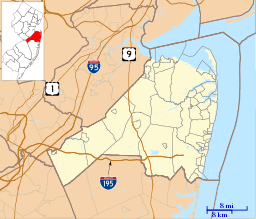 East Long Branch, New Jersey  East Long Branch, New Jersey  East Long Branch, New Jersey Location of East Long Branch in Monmouth County Inset: Location of county within the state of New Jersey | |
| Coordinates: 40°18′48″N 73°58′40″W / 40.31333°N 73.97778°WCoordinates: 40°18′48″N 73°58′40″W / 40.31333°N 73.97778°W | |
| Country |
|
| State |
|
| County | Monmouth |
| City | Long Branch |
| Elevation[1] | 16 ft (5 m) |
| Time zone | Eastern (EST) (UTC-5) |
| • Summer (DST) | EDT (UTC-4) |
| GNIS feature ID | 882450[1] |

East Long Branch is an unincorporated community and neighborhood located within Long Branch in Monmouth County, New Jersey, United States.[2] It is located in the northern portion of the city along the Atlantic Ocean coastline. Major roads through the area include Joline Avenue and Ocean Boulevard, both of which are parts of New Jersey Route 36. Homes consisting of single-family houses and condominiums are located throughout the area and the county-maintained Seven Presidents Park is located within East Long Branch.[3]
References
- 1 2 "East Long Branch". Geographic Names Information System. United States Geological Survey.
- ↑ Locality Search, State of New Jersey. Accessed February 23, 2015.
- ↑ Google (October 3, 2015). "Aerial view of East Long Branch" (Map). Google Maps. Google. Retrieved October 3, 2015.

This article is issued from Wikipedia - version of the 6/8/2016. The text is available under the Creative Commons Attribution/Share Alike but additional terms may apply for the media files.