Dunbar Island
For the islands off Dunbar in Scotland, see Islands of the Forth.
| Dunbar Island | |
|---|---|
| Island | |
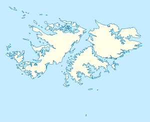 Dunbar Island Dunbar Island shown within the Falkland Islands | |
| Coordinates: 51°21′50″S 60°23′20″W / 51.364°S 60.389°WCoordinates: 51°21′50″S 60°23′20″W / 51.364°S 60.389°W | |
| Country | Falkland Islands |
| Area | |
| • Total | 2.25 km2 (0.87 sq mi) |
| Population (2001) | |
| • Total | 0 |
| • Density | 0.0/km2 (0.0/sq mi) |
| Time zone | FKST (UTC−3) |
| If shown, area and population ranks are for all islands and all inhabited islands in the Falklands respectively. | |
Dunbar Island is part of the West Point Island Group of the Falkland Islands. It is near West Falkland, to its north, in Byron Sound[1] It is east of Carcass Island and Low Island and to the west of Saunders Island. It is south of Sedge Island and north of the Byron Heights and Storm Mountain.
The island's land area is 2.25 square kilometres (0.87 sq mi).[2]
References
- ↑ Strange, Ian (1983) The Falkland Islands
- ↑ PART II: Falkland Islands Important Bird Areas - West Point Island Group
This article is issued from Wikipedia - version of the 4/2/2015. The text is available under the Creative Commons Attribution/Share Alike but additional terms may apply for the media files.