Drizzlecombe
 Main standing stone | |
 Shown within Devon | |
| Location | Dartmoor |
|---|---|
| Region | England |
| Coordinates | 50°29′10″N 3°59′06″W / 50.486°N 3.9849°W |
| Type | Stone rows, menhirs, cairns, kistvaens |
| History | |
| Periods | Neolithic, Bronze Age |
| Site notes | |
| Public access | Yes |

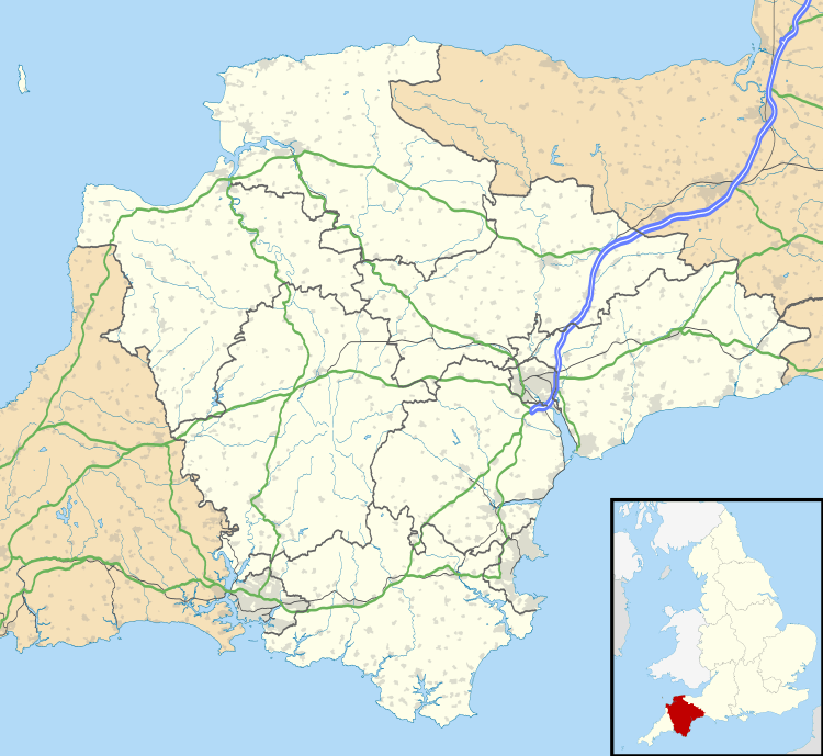
Drizzlecombe or Thrushelcombe is an area of Dartmoor in the county of Devon, England. It is located on the western side of the moor about 4 miles (6.4 km) east of the village of Yelverton, to the west of the upper reaches of the River Plym.
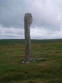
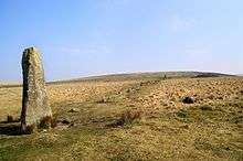
The area contains a number of Bronze Age stone rows, cairns and menhirs, most of which are on the southwest slope of Hartor Hill. There are three principal stone rows each with an associated barrow and terminal menhir. The tallest menhir, which at 14 ft (4.3 m) high is the largest on Dartmoor, was re-erected by Sabine Baring-Gould, R. Hansford Worth and others in 1893.[1][2]
Nearby is the large but damaged cairn known as Giant's Basin; many of its stones were removed by warreners to build their rabbit-warrens at Ditsworthy, lower down the river. Higher up the slope and overlooking these monuments is a village of stone hut circles, akin to the one at Grimspound. To the north-east lie the extensive remains of Eylesbarrow tin mine and north-west is the concentric Yellowmead stone circle.
There are also Neolithic kistvaens in the area.
References
- ↑ http://www.dartmoortrust.org/archive/307 The Dartmoor Trust Drizzlecombe Menhir And Stone Row
- ↑ http://www.dartmoortrust.org/archive/12338 The Dartmoor Trust Drizzlecombe Menhir, Sheepstor
- Eric Hemery (1983). High Dartmoor. London: Robert Hale. pp. 187–194. ISBN 0-7091-8859-5.
| Wikimedia Commons has media related to Drizzlecombe. |
Coordinates: 50°29′04″N 3°59′17″W / 50.48444°N 3.98806°W