Down Thomas
| Down Thomas | |
 Converted Farm Buildings in Down Thomas |
|
 Down Thomas |
|
| Unitary authority | Devon |
|---|---|
| Ceremonial county | Devon |
| Region | South West |
| Country | England |
| Sovereign state | United Kingdom |
| EU Parliament | South West England |
Coordinates: 50°19′48″N 4°06′04″W / 50.330°N 4.101°W
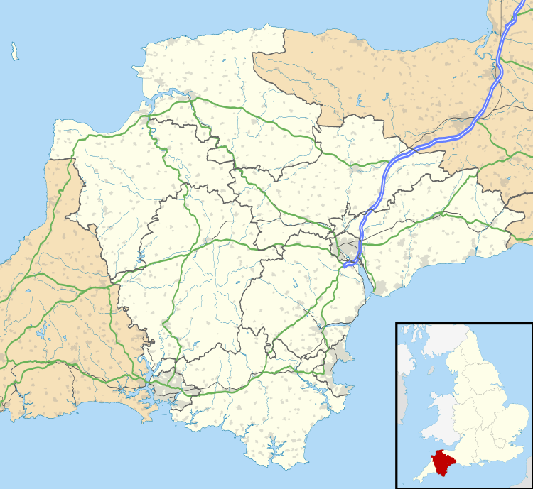
Down Thomas is a village in Devon, England.[1] The village is situated about 4 miles south of Plymouth. It is on the Wembury peninsula and is surrounded by farmland. The village is a part of the South Hams local government district.
References
External links
![]() Media related to Down Thomas at Wikimedia Commons
Media related to Down Thomas at Wikimedia Commons
This article is issued from Wikipedia - version of the 7/21/2016. The text is available under the Creative Commons Attribution/Share Alike but additional terms may apply for the media files.