Dong Peng
| Dong Peng Multiple Use Management Area | |
|---|---|
|
IUCN category IV (habitat/species management area) | |
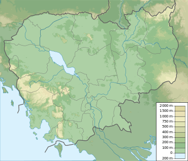 | |
| Location | Koh Kong Province, Cambodia |
| Nearest city | Sihanoukville |
| Coordinates | 11°9.131′N 103°40.734′E / 11.152183°N 103.678900°E[1]Coordinates: 11°9.131′N 103°40.734′E / 11.152183°N 103.678900°E[1] |
| Area | 27,700 ha (107 sq mi)[2] |
| Established | 1993[2] |
Dong Peng is a protected multiple use management area in the Koh Kong Province of Cambodia. It is located on the north end of the Bay of Kompong Som.
References
- 1 2 Mark Spalding; Mark Spalding, Mami Kainuma and Lorna Collins; Mami Kainuma; Lorna Collins (2010). World Atlas of Mangroves. Earthscan. pp. 130–. ISBN 978-1-84977-660-8.
- 1 2 "Royal Decree on Protected Areas". Open Development Cambodia. Retrieved 27 December 2013.
This article is issued from Wikipedia - version of the 11/19/2016. The text is available under the Creative Commons Attribution/Share Alike but additional terms may apply for the media files.