Doi Mae Tho
| Doi Mae Tho | |
|---|---|
| ดอยแม่โถ | |
 Doi Mae Tho | |
| Highest point | |
| Elevation | 2,031 m (6,663 ft) |
| Listing | List of mountains in Thailand |
| Coordinates | 19°00′06″N 99°24′20″E / 19.00167°N 99.40556°ECoordinates: 19°00′06″N 99°24′20″E / 19.00167°N 99.40556°E |
| Geography | |
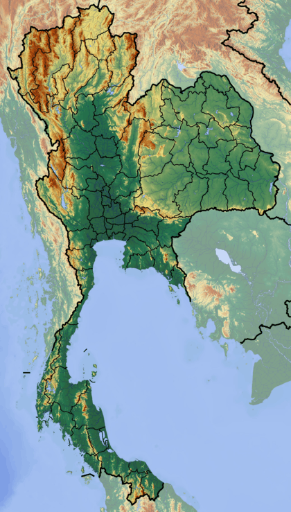
| Location | Chiang Rai Province |
| Parent range | Khun Tan Range |
| Climbing | |
| First ascent | unknown |
| Easiest route | drive, then hike |
Doi Mae Tho (Thai: ดอยแม่โถ), also known as Doi Langka Luang (ดอยลังกาหลวง) or Doi Lang Ka (ดอยลังกา),[1] is a mountain in Thailand, part of the Khun Tan Range.
The mountain rises in the SW of Wiang Pa Pao District, Chiang Rai Province, near the point where the limit of this province meets with Chiang Mai and Lampang Provinces. With a height of 2,031 metres it is the highest point of the Khun Tan Range.[2]
Its summit is located less than 8 km to the SE of Route 118 between Chiang Mai and Chiang Rai.
See also
References
External links
This article is issued from Wikipedia - version of the 3/25/2013. The text is available under the Creative Commons Attribution/Share Alike but additional terms may apply for the media files.