Doghole River
| Doghole River | |
| Country | Canada |
|---|---|
| Province | Ontario |
| Region | Northwestern Ontario |
| District | Kenora |
| Part of | James Bay drainage basin |
| Source | Doghole Lake |
| - elevation | 377 m (1,237 ft) |
| - coordinates | 51°12′56″N 90°16′24″W / 51.21556°N 90.27333°W |
| Mouth | Lake St. Joseph |
| - elevation | 374 m (1,227 ft) |
| - coordinates | 51°09′50″N 90°22′17″W / 51.16389°N 90.37139°WCoordinates: 51°09′50″N 90°22′17″W / 51.16389°N 90.37139°W |
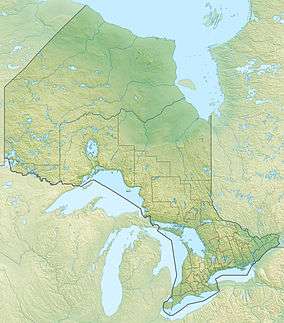 Location of the mouth of the Doghole River in Ontario
| |
The Doghole River is a river in the Unorganized Part of Kenora District in Northwestern Ontario, Canada.[1] The river is part of the James Bay drainage basin. It flows from Doghole Lake, where the outlet is part of the Mishkeegogamang First Nation Osnaburgh Indian Reserve No. 63B, to the northeast shore of Lake St. Joseph; oddly, the mouth is not on Doghole Bay, adjacent to the east.[2] Lake St. Joseph is the source of the Albany River, which flows to James Bay.
References
- ↑ "Doghole River". Geographical Names Data Base. Natural Resources Canada. Retrieved 2015-02-07.
- ↑ "Doghole Bay". Geographical Names Data Base. Natural Resources Canada. Retrieved 2015-02-07.
Other map sources:
- Map 16 (PDF) (Map). 1 : 1,600,000. Official road map of Ontario. Ministry of Transportation of Ontario. 2014. Retrieved 2015-02-07.
- Restructured municipalities - Ontario map #1 (Map). Restructuring Maps of Ontario. Ontario Ministry of Municipal Affairs and Housing. 2006. Retrieved 2015-02-07.
This article is issued from Wikipedia - version of the 3/19/2016. The text is available under the Creative Commons Attribution/Share Alike but additional terms may apply for the media files.