Dobro Pole
| Dóbro Pólie | |
|---|---|
| Dobro Pole | |
 Dóbro Pólie Macedonia | |
| Highest point | |
| Elevation | 1,523 m (4,997 ft) |
| Coordinates | 41°03′00″N 21°53′00″E / 41.05000°N 21.88333°ECoordinates: 41°03′00″N 21°53′00″E / 41.05000°N 21.88333°E |
| Geography | |
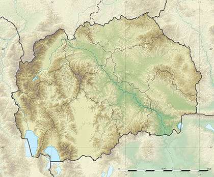
| Location | Border between Macedonia and Greece |
Dobro Pole or Dóbro Pólie (Macedonian: Добро Поле), (Serbian: Доброг Поља, Dobrog Polja), (Greek: Ντόμπρο Πόλε, Ntómpro Póle) is a peak situated in the southern part of the Republic of Macedonia on the border with Greece.
The nearest villages are Zoviḱ in the Novaci Municipality in the Mariovo region of Macedonia, and Prómachoi in the Voras Mountains in the Pella regional unit, northern Greece.
The Battle of Dobro Pole was fought around the Dobro Pole between 15 and 18 September 1918.
External links
This article is issued from Wikipedia - version of the 6/1/2016. The text is available under the Creative Commons Attribution/Share Alike but additional terms may apply for the media files.