Dhing
| Dhing ধিং | |
|---|---|
| city | |
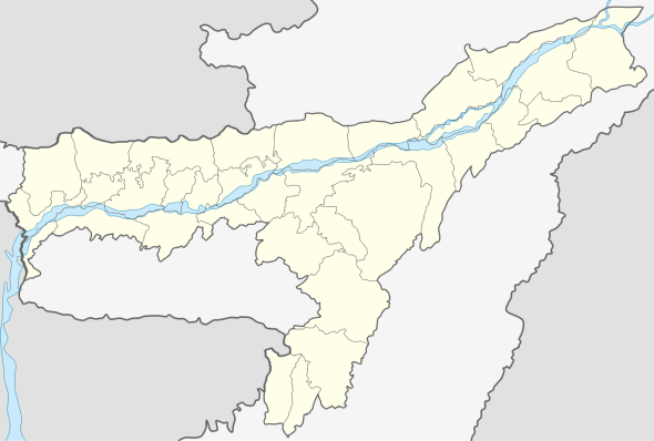 Dhing  Dhing Location in Assam, India | |
| Coordinates: 26°28′N 92°28′E / 26.47°N 92.47°ECoordinates: 26°28′N 92°28′E / 26.47°N 92.47°E | |
| Country |
|
| State | Assam |
| District | Nagaon |
| Elevation | 58 m (190 ft) |
| Population (2001) | |
| • Total | 17,841 |
| Languages | |
| • Official | Assamese |
| Time zone | IST (UTC+5:30) |
| PIN | 782123 |
| Vehicle registration | AS02 |
Dhing is a town and a town area committee in Nagaon district in the state of Assam, India.
Geography
Dhing is located at 26°28′N 92°28′E / 26.47°N 92.47°E.[1] It has an average elevation of 58 metres (190 feet).
Dhing is a small town located at the North-West part of Nagaon district in the state of Assam, India. It is in Nagaon sub-division. Dhing is located at a distance of around 25 kilometres from Nagaon town. The road from Nagaon town is the main road through which Dhing is connected. Dhing is connected with Guwahati by a broad-gauge railway track. The road via Baruwati and Morigaon is the shortest road to Guwahati. The historically important place Bardowa (or Batadrava) the birthplace of great saint of not only Assam but India Sri Sri Sankardev is on the way to Dhing from Nagaon town. Most of the population of the region in the locality of Dhing are cultivators. The locality produces mostly paddy, jute, various vegetables etc.
Demographics
As of 2001 India census,[2] Dhing had a population of 17,841. Males constitute 51% of the population and females 49%. Dhing has an average literacy rate of 73%, higher than the national average of 59.5%: male literacy is 78% and, female literacy is 68%. In Dhing, 12% of the population is under 6 years of age.
Politics
Revolutionary Communist leader M. Shamsul Huda also a writer, Literary Pensioner who had been elected several times with also highest ever cast votes in his favour to the Assam Legilative Assembly as its Member from Dhing LAC Dhing is part of Kaliabor (Lok Sabha constituency).[3]
References
- ↑ Falling Rain Genomics, Inc - Dhing
- ↑ "Census of India 2001: Data from the 2001 Census, including cities, villages and towns (Provisional)". Census Commission of India. Archived from the original on 2004-06-16. Retrieved 2008-11-01.
- ↑ "List of Parliamentary & Assembly Constituencies" (PDF). Assam. Election Commission of India. Retrieved 2008-10-06.