Deothang
| Deothang | |
|---|---|
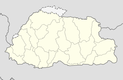 Deothang Location in Bhutan | |
| Coordinates: 26°53′24″N 91°30′0″E / 26.89000°N 91.50000°ECoordinates: 26°53′24″N 91°30′0″E / 26.89000°N 91.50000°E | |
| Country |
|
| District | Samdrup Jongkhar District |
| Population (2005) | |
| • Total | 2,644 |
Deothang is a town in south-eastern Bhutan. It is located in Samdrup Jongkhar District at an altitude of 870 metres (2855 feet).[1] At the 2005 census it had a population of 2,644.[2]
The town and surrounding area is known for its bird population and there is the Sonai-Rupai Wildlife Sanctuary. The Royal Bhutan Polytechnic (RBP) in Deothang provides a three-year diploma course.
The town of Deothang is only a small town today except for the Polytechnic. However, until 1865 there was an important fort standing on the ridge overlooking the road into the town. This fort, known at the time as Dewangiri, was dismantled by the British during the Anglo-Bhutanese War of 1865. The British were defeated at Deothang and when they recaptured Dewangiri they destroyed much to attempt to compensate.
Sangay Lhendup of Deothang was elected as a National Council minister for Samdrup Jongkhar District in the Bhutanese National Council election, 2007–2008. However Jigme Wangchuk (not the former King) of Lauri Gewog was the winner.[3]
Today, Deothang is home to an important Royal Bhutan Army camp.[1]
References
- 1 2 Pommaret, Francoise (2006). Bhutan Himalayan Mountains Kingdom (5th edition). Odyssey Books and Guides. p. 270.
- ↑ "Bhutan: largest cities and towns and statistics of their population". World Gazetteer. Retrieved 2008-07-11.
- ↑ www.kuenselonline.com