Denton Burn
Coordinates: 54°59′00″N 1°41′38″W / 54.983219°N 1.693912°W
| Denton Burn | |
|---|---|
 Denton Burn | |
| OS grid reference | NZ1958665453 |
| |
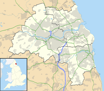
Denton Burn is an area situated 4 miles (6 km) to the west of the city centre of Newcastle upon Tyne in England, United Kingdom. It is officially designated a suburb of the city, where it is linked to Carlisle by the A69 and A1 roads. The West Road also runs to the north of Denton Burn allowing access to the city centre and also to the junction which leads to the A69 road and A1 road.
Education
There are three schools located in Denton Burn, St. Bedes RC Primary School, Broadwood Primary School and St. Cuthbert's High School. Other amenities like the library, stores and field are essential to the area.
References
This article is issued from Wikipedia - version of the 7/7/2015. The text is available under the Creative Commons Attribution/Share Alike but additional terms may apply for the media files.