Denis Island Airport
| Denis Island Airport | |||||||||||
|---|---|---|---|---|---|---|---|---|---|---|---|
| IATA: DEI – ICAO: FSSD | |||||||||||
| Summary | |||||||||||
| Airport type | Private | ||||||||||
| Operator | Denis Island | ||||||||||
| Location | Denis Island, Seychelles | ||||||||||
| Elevation AMSL | 10 ft / 3 m | ||||||||||
| Coordinates | 03°48′01.17″S 55°39′52.03″E / 3.8003250°S 55.6644528°E | ||||||||||
| Map | |||||||||||
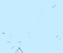 DEI Location of Airport in Seychelles | |||||||||||
| Runways | |||||||||||
| |||||||||||
Denis Island Airport (IATA: DEI, ICAO: FSSD) is an airfield serving Denis Island in the Seychelles.
Facilities
The airport resides at an elevation of 10 feet (3 m) above mean sea level. It has a grass runway designated 13/31 measuring 845 by 23 metres (2,772 ft × 75 ft).
Airlines and Destinations
| Airlines | Destinations |
|---|---|
| Air Seychelles | Charter: Mahé |
This article is issued from Wikipedia - version of the 11/27/2016. The text is available under the Creative Commons Attribution/Share Alike but additional terms may apply for the media files.