Defence Islands, Andaman
 Defence Islands Location of Defence Islands | |
| Geography | |
|---|---|
| Location | Bay of Bengal |
| Coordinates | 11°57′N 92°36′E / 11.95°N 92.60°ECoordinates: 11°57′N 92°36′E / 11.95°N 92.60°E |
| Archipelago | Andaman Islands |
| Adjacent bodies of water | Indian Ocean |
| Total islands | 7 |
| Major islands |
|
| Area | 6.19 km2 (2.39 sq mi)[1] |
| Highest elevation | 0 m (0 ft)[2] |
| Administration | |
| District | South Andaman |
| Island group | Andaman Islands |
| Island sub-group | Great Andaman |
| Tehsil | Ferrargunj Tehsil |
| Demographics | |
| Demonym | Hindi |
| Population | 0 (2011) |
| Pop. density | 0.00 /km2 (0 /sq mi) |
| Ethnic groups | Hindu, Andamanese |
| Additional information | |
| Time zone | |
| PIN | 744202[3] |
| Telephone code | 031927 [4] |
| Official website |
www |
| ISO Code | IN-AN-00[5] |
| Literacy | 84.4% |
| Avg. summer temperature | 30.2 °C (86.4 °F) |
| Avg. winter temperature | 23.0 °C (73.4 °F) |
| Sex ratio | 1.2♂/♀ |
| unit_pref | Metric |
| Census Code | 35.639.0004 |
| Official Languages | Hindi, English |
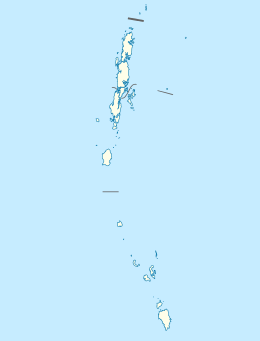
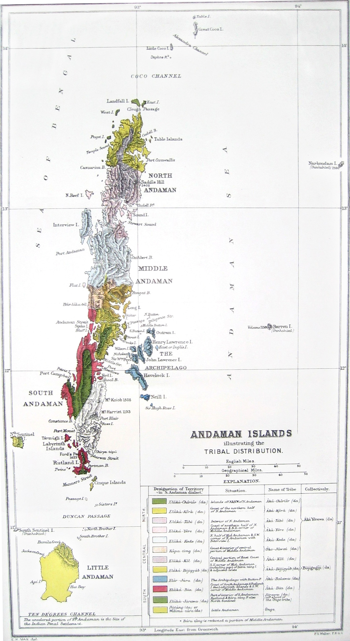
Defence Islands are an island group of the Andaman Islands. It belongs to the South Andaman administrative district, part of the Indian union territory of Andaman and Nicobar Islands.[6] the islands are situated 33.5 km (21 mi) north from Port Blair.
Geography
The islands belongs to the Defence Group and lies in the sound of Jirkatang. at their southern islands, there is a natural harbour called Port Campbell.[7]
Administration
Politically, Defence Island, along neighboring islands, is part of Ferrargunj Taluk.[8]
References
- ↑ "Islandwise Area and Population - 2011 Census" (PDF). Government of Andaman.
- ↑ "Sailing Directions (enroute) | India and the Bay of Bengal" (PDF) (173). National Geospatial-intelligence Agency, United States Government. 2014. Retrieved 2016-09-23.
- ↑ "A&N Islands - Pincodes". 22 September 2016. Retrieved 22 September 2016.
- ↑ "STD Codes of Andaman and Nicobar". allcodesindia.in. Retrieved 2016-09-23.
- ↑ Registration Plate Numbers added to ISO Code
- ↑ "Village Code Directory: Andaman & Nicobar Islands" (PDF). Census of India. Retrieved 2011-01-16.
- ↑
- ↑ "DEMOGRAPHIC – A&N ISLANDS" (PDF). andssw1.and.nic.in. Retrieved 2016-09-23.
| Wikimedia Commons has media related to South Andaman Island. |
 Andaman and Nicobar Islands travel guide from Wikivoyage
This article is issued from Wikipedia - version of the 11/17/2016. The text is available under the Creative Commons Attribution/Share Alike but additional terms may apply for the media files.