Daychounieh
| Daychounieh الديشونية | |
|---|---|
| City | |
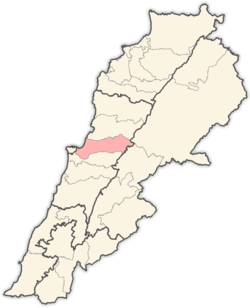
 Daychounieh Location within Lebanon | |
| Coordinates: 33°51′N 35°34′E / 33.850°N 35.567°ECoordinates: 33°51′N 35°34′E / 33.850°N 35.567°E | |
| Country |
|
| Governorate | Mount Lebanon Governorate |
| District | Matn District |
| Government | |
| • Time Zone | GMT +2 (UTC) |
| • - Summer (DST) | +3 (UTC) |
| • Area Code(s) | (+961) 4 |
| • Postal code | 22415 |
| Area | |
| • Total | 1.33 km2 (0.51 sq mi) |
| Highest elevation | 250 m (820 ft) |
| Lowest elevation | 200 m (700 ft) |
| Time zone | EET (UTC+2) |
| • Summer (DST) | EEST (UTC+3) |
| Dialing code | +961 |
Daychounieh (Arabic: الديشونية translit. al-Dayšūniyat) (also Al-Daychounieh) is a village in the Matn District of the Mount Lebanon Governorate, Lebanon. Daychounieh is administered by Mansourieh municipality.
Geography
Daychounieh is 21 km to the Capital (Beirut), 26 km to the Province Administrative Center (Baabda) and 15 km to the Caza Administrative Center (Jdeideh).
Daychounieh is accessible from Mansourieh main road.
Beirut River flows east to west from Lebanon’s mountains passing through Daychounieh to the Mediterranean Sea.
Demographics
As of 2009, Daychounieh houses a population of approx. 800, of which 98 constitute the electorate and 153 are native residents. The number of residences is approx. 250. [1]
References and footnotes
- ↑ "Daychounieh E-Community". Retrieved June 24, 2009.
External links
- Mansouriyeh - Mkalles - Daychouniyeh, Localiban
Capital: Jdeideh | ||
| Towns and villages |
|  |
| Notable landmarks | ||
| Notable touristic sites | ||
This article is issued from Wikipedia - version of the 10/7/2016. The text is available under the Creative Commons Attribution/Share Alike but additional terms may apply for the media files.