David Low Way
| David Low Way Queensland | |
|---|---|
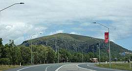 | |
| View of Mount Coolum from David Low Way at Mount Coolum, 2015 | |
| General information | |
| Type | Road |
| Length | 39 km (24 mi) |
| Route number(s) |
|
| Major junctions | |
| North end |
Noosa Drive, Noosa Heads, Queensland |
| South end |
Maroochydore, Queensland |
| Location(s) | |
| Major suburbs | Maroochydore, Bli Bli, Pacific Paradise, Marcoola, Mount Coolum, Coolum, Peregian Beach, Marcus Beach, Sunshine Beach, Noosa Heads |
| |
David Low Way is a 39-kilometre (24 mi) Australian road connecting the many coastal townships of the Sunshine Coast with the two large city centres of Maroochydore in the south and Noosa Heads in the north. The route is an alternative coastal route to the Sunshine Motorway and passes through the sugar and fruit growing town of Bli Bli and then crosses the Sunshine Motorway. The road then travels north along the coast, through many coastal towns to the terminus at Noosa Heads.
This article is issued from Wikipedia - version of the 5/12/2016. The text is available under the Creative Commons Attribution/Share Alike but additional terms may apply for the media files.