Daowai District
| Daowai 道外区 | |
|---|---|
| District | |
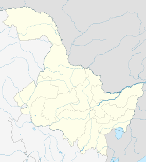 Daowai Location in Heilongjiang | |
| Coordinates: 45°47′22″N 126°38′45″E / 45.7895°N 126.6459°ECoordinates: 45°47′22″N 126°38′45″E / 45.7895°N 126.6459°E[1] | |
| Country | People's Republic of China |
| Province | Heilongjiang |
| Sub-provincial city | Harbin |
| Subdivisions |
23 subdistricts 3 towns 1 township |
| Seat | Jingyu Subdistrict (靖宇街道) |
| Area[2] | |
| • Total | 618.6 km2 (238.8 sq mi) |
| Elevation | 119 m (390 ft) |
| Population (2010)[3] | |
| • Total | 906,421 |
| • Density | 1,500/km2 (3,800/sq mi) |
| Time zone | China Standard (UTC+8) |
| Area code(s) | 0451 |
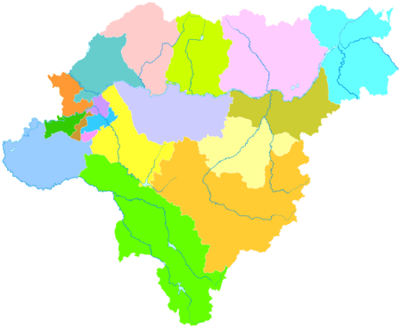
| Harbin district map | |
Daowai District (simplified Chinese: 道外区; traditional Chinese: 道外區; pinyin: Dàowài Qū) is one of nine districts of Harbin, the capital of Heilongjiang province, People's Republic of China, forming part of the city's urban core. It borders the districts of Hulan to the north, Acheng to the southeast, Xiangfang to the south, Nangang to the southwest, Songbei to the west, as well as Bin County to the east.
Administrative divisions
There are 23 subdistricts, three towns, and one township in the district:[4]
Subdistricts:
- Jingyu Subdistrict (靖宇街道), Taigu Subdistrict (太古街道), Donglai Subdistrict (东莱街道), Binjiang Subdistrict (滨江街道), Renli Subdistrict (仁里街道), Nanshi Subdistrict (南市街道), Chongjian Subdistrict (崇俭街道), Zhenjiang Subdistrict (振江街道), Dongyuan Subdistrict (东原街道), Daxing Subdistrict (大兴街道), Shengli Subdistrict (胜利街道), Nanma Subdistrict (南马街道), Minqiang Subdistrict (民强街道), Dayoufang Subdistrict (大有坊街道), Nanzhi Road Subdistrict (南直路街道), Huagong Subdistrict (化工街道), Huochetou Subdistrict (火车头街道), Xinyi Subdistrict (新一街道), Sankeshu Avenue Subdistrict (三棵树大街街道), Shuini Road Subdistrict (水泥路街道), Taiping Avenue Subdistrict (太平大街街道), Lihua Subdistrict (黎华街道), Xinle Subdistrict (新乐街道)
Towns:
- Yongyuan (永源镇), Juyuan (巨源镇), Tuanjie (团结镇)
The only township is Minzhu Township (民主乡)
References
- ↑ Google (2014-07-02). "Daowai" (Map). Google Maps. Google. Retrieved 2014-07-02.
- ↑ Harbin Statistical Yearbook 2011 (《哈尔滨统计年鉴2011》). Accessed 8 July 2014.
- ↑ 2010 Census Harbin primary statistics report (《哈尔滨市2010年第六次全国人口普查主要数据公报》). Accessed 8 July 2014.
- ↑ 2011年统计用区划代码和城乡划分代码:道外区 (in Chinese). National Bureau of Statistics of the People's Republic of China. Retrieved 2013-02-05.
External links
- (Chinese) Government site - Google translation
This article is issued from Wikipedia - version of the 11/21/2014. The text is available under the Creative Commons Attribution/Share Alike but additional terms may apply for the media files.