Damaturu
| Damaturu | |
|---|---|
| LGA and city | |
 Damaturu | |
| Coordinates: 11°44′40″N 11°57′40″E / 11.74444°N 11.96111°E | |
| Country |
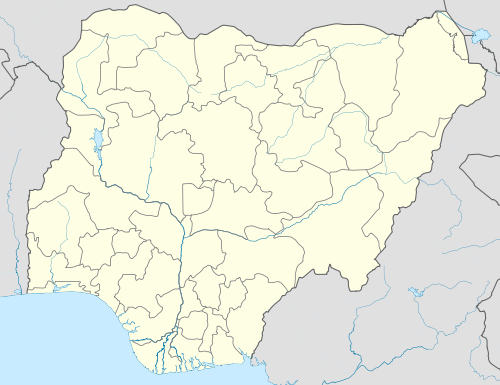
|
| State | Yobe State |
| Area | |
| • Total | 2,366 km2 (914 sq mi) |
| Population (2006 Census) | |
| • Total | 88,014 |
| Time zone | WAT (UTC+1) |
| 3-digit postal code prefix | 620 |
| ISO 3166 code | NG.YO.DA |
Damaturu is a Local Government Area in Yobe State, Nigeria. Its headquarters are in the town of Damaturu, the State capital.
The postal code of the area is 620.[1] The Local Government Area has an area of 2,366 km² and a population of 88,014 at the 2006 census.
The town of Damaturu is on the A3 highway and has an estimated 2010 population of 44,268. [2] Damaturu is the headquarters of the Damaturu Emirate, at one time part of the Ngazaragamo emirate based in Gaidam.[3]
On 16 June 2013, Damaturu was the site of an attack by Boko Haram. Militants attacked a school and killed thirteen people, including students and teachers.[4]
On 26 October 2013, suspected Boko Haram militants engaged security forces in a lengthy gun battle and raided a hospital in Damaturu.[5]
On 1 December 2014, suspected Boko Haram militants carried out attacks on the city. The assault began shortly after 5:00 am local time. Gunshots and explosions were heard and a base of the riot police was reported to have been set on fire. Yobe state university also came under attack.[6]
Geography
The northeasterly line of equal latitude and longitude passes through the area including 12°00′00″N 12°00′00″E / 12.00000°N 12.00000°E in the north.
References
- ↑ "Post Offices- with map of LGA". NIPOST. Archived from the original on November 26, 2012. Retrieved 2009-10-20.
- ↑ "The World Gazetteer". Retrieved 2007-04-04.
- ↑ ISMAIL OMIPIDAN (June 17, 2011). "Boko Haram: how it all started". The Sun (Nigeria). Retrieved 2011-08-03.
- ↑ "Nigeria militants kill school children in Maiduguri". BBC News. 18 June 2013. Retrieved 19 June 2013.
- ↑ "Nigerian militants raid northern city of Damaturu". BBC News. 26 October 2013. Retrieved 23 October 2013.
- ↑ "Nigerian unrest: Damaturu city 'under militant attack'". BBC News. 1 December 2014.
Coordinates: 11°44′40″N 11°57′40″E / 11.74444°N 11.96111°E
State capital: Damaturu | ||
| LGAs |  | |