Cypress Peak
| Cypress Peak | |
|---|---|
 Cypress Peak, July 2005 | |
| Highest point | |
| Elevation | 2,083 m (6,834 ft) [1] |
| Prominence | 265 m (869 ft) [1] |
| Coordinates | 50°02′08″N 123°15′11″W / 50.03556°N 123.25306°WCoordinates: 50°02′08″N 123°15′11″W / 50.03556°N 123.25306°W [2] |
| Geography | |
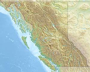 Cypress Peak British Columbia, Canada | |
| Parent range | Pacific Ranges |
| Topo map | NTS 092/J03 |
Cypress Peak is a mountain peak south of Brandywine Mountain on the Squamish-Cheakamus divide, west of Whistler in the New Westminster Land District of British Columbia, Canada. The mountain was named after nearby Cypress Creek (which has since been renamed Roe Creek).[2]
References
- 1 2 "Cypress Peak". Bivouac.com. Retrieved 2010-12-29.
- 1 2 "Cypress Peak". BC Geographical Names. Retrieved 2010-12-29.
This article is issued from Wikipedia - version of the 12/6/2015. The text is available under the Creative Commons Attribution/Share Alike but additional terms may apply for the media files.