Credit River (Minnesota)
| Credit River | |
| River | |
 The Credit River in a city park in Savage in 2007 | |
| Country | United States |
|---|---|
| State | Minnesota |
| Source | |
| - location | Elko New Market |
| - elevation | 1,129 ft (344 m) [1] |
| - coordinates | 44°34′13″N 93°20′13″W / 44.57028°N 93.33694°W [2] |
| Mouth | Minnesota River |
| - location | Savage |
| - elevation | 697 ft (212 m) [1] |
| - coordinates | 44°47′14″N 93°20′32″W / 44.78722°N 93.34222°WCoordinates: 44°47′14″N 93°20′32″W / 44.78722°N 93.34222°W [2] |
| Length | 21.5 mi (35 km) [3] |
| Basin | 46.3 sq mi (120 km2) [4] |
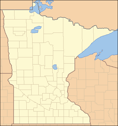 Location of the mouth of the Credit River in Savage, Minnesota
| |
The Credit River is a small tributary of the Minnesota River, 22 miles (35 km) long, in the southwestern Minneapolis-St. Paul metropolitan area in Minnesota in the United States. Via the Minnesota River, it is part of the watershed of the Mississippi River, draining an area of 46 square miles (120 km²) in a suburban area. The stream flows for its entire length in eastern Scott County; its tributaries also drain a portion of western Dakota County.[4][5]
The Credit River issues from a small lake in the city of Elko New Market in southeastern Scott County, and flows generally northward through the townships of New Market and Credit River and the city of Savage. It flows into the Minnesota River from the south in Savage, approximately 14 miles (22 km) south-southwest of downtown Minneapolis.[5]
In 2002 the Minnesota Pollution Control Agency designated the Credit River as being impaired by turbidity. The agency removed the stream from its list of impaired waters in 2012 in light of monitoring data from 2008–2009 showing that excess turbidity was no longer present.[6][7]
See also
References
- 1 2 Google Earth elevation for GNIS coordinates. Retrieved on 2007-06-16.
- 1 2 "Geographic Names Information System entry for Credit River (Feature ID #663182)". Geographic Names Information System. Retrieved 2007-06-16.
- ↑ "Lower Minnesota River Major Watershed.". Minnesota River Basin Data Center. Minnesota State University, Mankato. 2000-06-06. pp. Streams within the Lower Minnesota River Major Watershed. Retrieved 2007-06-16.
- 1 2 "Lower Minnesota River Major Watershed.". Minnesota River Basin Data Center. Minnesota State University, Mankato. 2000-06-06. pp. Lower Minnesota River Major Watershed: Minor Watersheds and ID Numbers. GIS Summary Table: Minor Watersheds. Retrieved 2007-06-16. (Data for watershed numbers 33123, 33125, 33126.)
- 1 2 Minnesota Atlas & Gazetteer. Yarmouth, Me.: DeLorme. 1994. pp. 33, 41. ISBN 0-89933-222-6.
- ↑ United States Environmental Protection Agency. "Minnesota: Credit River: Watershed Management Efforts Help Reduce Sediment Loading in River". Archived from the original on 2013-02-18. Retrieved 2014-08-25.
- ↑ City of Savage, Minnesota. "Credit River Success Story". Retrieved 2014-08-25.