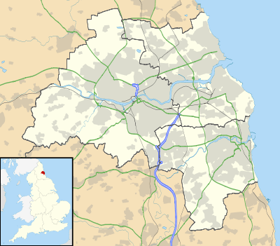
Cradlewell
Coordinates: 54°59′17″N 1°35′31″W / 54.988°N 1.592°W
| Cradlewell | |
|---|---|
 Cradlewell | |
| OS grid reference | NZ261660 |
| |
Cradlewell is an area within Jesmond, Newcastle upon Tyne, England. It is most noted for its spired church and its public house, 'The Cradlewell' (currently closed, being converted to a hotel & restaurant). Jesmond Dene is close by.
The name may simply be from a cradle shaped horse trough situated at the edge of Jesmond Road in a prominent position.
The historic Armstrong Bridge emerges into Cradlewell with Jesmond Dene to the north and Jesmond Vale to the south of the bridge.
In 1993 work began on a bypass for the Cradlewell area, replacing the very steep Benton Bank as the main thoroughfare. It joined the A1058 Coast Road with the Central Motorway after much protest from people who were opposed to cutting down so many ancient trees. There were tree-top demonstrations that held up the construction for a long time.[1]