Covilhã Airport
| Covilhã Airport | |||||||||||
|---|---|---|---|---|---|---|---|---|---|---|---|
|
IATA: | |||||||||||
| Summary | |||||||||||
| Elevation AMSL | 479 m / 1,572 ft | ||||||||||
| Coordinates | 40°15′53″N 007°28′48″W / 40.26472°N 7.48000°WCoordinates: 40°15′53″N 007°28′48″W / 40.26472°N 7.48000°W | ||||||||||
| Map | |||||||||||
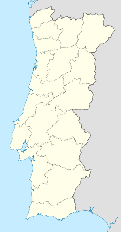 LPCV Location in Portugal | |||||||||||
| Runways | |||||||||||
| |||||||||||
Covilhã Airport (Portuguese: Aeroporto de Covilhã) (IATA: COV, ICAO: LPCV) was an airport serving Covilhã, Portugal. The airport was demolished to give place to one of the Portugal Telecom's Data Center.[3]
See also
 Portugal portal
 Aviation portal
- List of airports in Portugal
References
- ↑ AIP VFR Manual - Covilhã
- ↑ Airport information for Covilhã Airport at World Aero Data. Data current as of October 2006.
- ↑ "Data Center ficará na zona do aeródromo", Jornal do Fundão, 9 Mar 2011
This article is issued from Wikipedia - version of the 9/1/2015. The text is available under the Creative Commons Attribution/Share Alike but additional terms may apply for the media files.