Coundon Grange
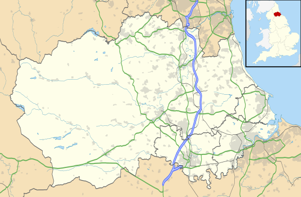
Map showing the location of Coundon Grange in County Durham
Coordinates: 54°38′48″N 1°38′53″W / 54.6468°N 1.6480°W Coundon Grange is a village in County Durham, England.[1] [2] It is situated to the east of Bishop Auckland. In the 2001 census Coundon Grange had a population of 235.[3]
References
- ↑ Ordnance Survey: Landranger map sheet 93 Middlesbrough (Darlington & Hartlepool) (Map). Ordnance Survey. 2010. ISBN 9780319228777.
- ↑ "Ordnance Survey: 1:50,000 Scale Gazetteer" (csv (download)). www.ordnancesurvey.co.uk. Ordnance Survey. 1 January 2016. Retrieved 18 February 2016.
- ↑ "Wear Valley Settlement Summary Sheets" (PDF). Durham County Council. Archived from the original (PDF) on October 7, 2007. Retrieved 14 October 2016.
External links
![]() Media related to Coundon Grange at Wikimedia Commons
Media related to Coundon Grange at Wikimedia Commons
This article is issued from Wikipedia - version of the 10/14/2016. The text is available under the Creative Commons Attribution/Share Alike but additional terms may apply for the media files.