Cotopaxi National Park
| Cotopaxi National Park | |
|---|---|
|
IUCN category II (national park) | |
|
| |
 | |
| Location |
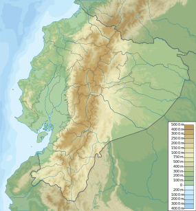
Ecuador Cotopaxi Province, Napo Province and Pichincha Province |
| Coordinates | 0°41′3″S 78°26′14″W / 0.68417°S 78.43722°WCoordinates: 0°41′3″S 78°26′14″W / 0.68417°S 78.43722°W |
| Area | 33,393 ha |
| Established | 11 August 1975 |
| Governing body | Ministerio del Ambiente |

Cotopaxi National Park (Spanish: Parque Nacional Cotopaxi) is a protected area in Ecuador situated in the Cotopaxi Province, Napo Province and Pichincha Province, roughly 50 km south of Quito. The Cotopaxi volcano (supposedly meaning smooth neck of the moon) that lends its name to the park is located within its boundaries, together with two others: the dormant Rumiñawi volcano to its north-west and the historical Sincholagua volcano (last major eruption: 1877) to the south east. Cotopaxi is among the highest active volcanoes in the world; its last significant eruption took place in 1904.
External links
![]() Media related to Cotopaxi National Park at Wikimedia Commons
Media related to Cotopaxi National Park at Wikimedia Commons
This article is issued from Wikipedia - version of the 11/19/2016. The text is available under the Creative Commons Attribution/Share Alike but additional terms may apply for the media files.