Corner Inlet Marine National Park
This article is about the marine national park. For the marine and coastal park, see Corner Inlet Marine and Coastal Park. For the embayment, see Corner Inlet.
| Corner Inlet Marine National Park Victoria | |
|---|---|
|
IUCN category II (national park) | |
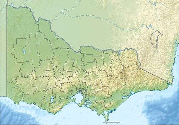 Corner Inlet Marine National Park | |
| Nearest town or city | Port Albert |
| Coordinates | 38°46′S 146°20′E / 38.767°S 146.333°ECoordinates: 38°46′S 146°20′E / 38.767°S 146.333°E |
| Established | 16 November 2002[1] |
| Area | 15.5 km2 (6.0 sq mi)[1] |
| Managing authorities | Parks Victoria |
| Website | Corner Inlet Marine National Park |
| See also | Protected areas of Victoria |
The Corner Inlet Marine National Park is a protected marine national park located in the South Gippsland region of Victoria, Australia.[1][2] The 1,550-hectare (3,800-acre) marine park is situated approximately 200 kilometres (120 mi) southeast of Melbourne and contains part of Corner Inlet.
The park is located adjacent to the Wilsons Promontory National Park and integrally linked to Corner Inlet Marine and Coastal Park and forms part of an area that has been recognised as a wetland of international significance under the Ramsar Convention.[3]
See also
References
- 1 2 3 "Corner Inlet Marine National Park management plan" (PDF). Parks Victoria (PDF). Government of Victoria. September 2005. ISBN 0-7311-8345-2. Retrieved 4 February 2012.
- ↑ "Corner Inlet Marine National Park". Parks Victoria. Government of Victoria. 2010. Retrieved 4 February 2012.
- ↑ "Corner Inlet Marine National Park: A world class wetland" (PDF). Parks Victoria (PDF). Government of Victoria. September 2003. Retrieved 29 August 2014.
External links
- "Marine National Parks and Marine Sanctuaries Boundary Coordinates" (PDF). Parks Victoria (PDF). Government of Victoria. July 2013.
- "Corner Inlet Marine National Park: Marine Natural Values Study Summary" (PDF). Parks Victoria and Deakin University (PDF). Government of Victoria.
Marine and coastal parks of Victoria, Australia | ||
|---|---|---|
| Marine and coastal parks |
| |
| Marine national parks | ||
| Marine sanctuaries |
| |
This article is issued from Wikipedia - version of the 7/17/2015. The text is available under the Creative Commons Attribution/Share Alike but additional terms may apply for the media files.