Collooney
| Collooney Cúil Mhuine | |
|---|---|
| Village | |
 Collooney Location in Ireland | |
| Coordinates: 54°11′00″N 8°30′00″W / 54.1833°N 8.5000°WCoordinates: 54°11′00″N 8°30′00″W / 54.1833°N 8.5000°W | |
| Country | Ireland |
| Province | Connacht |
| County | County Sligo |
| Elevation | 62 m (203 ft) |
| Population (2011) | |
| • Total | 1,369 |
| Time zone | WET (UTC+0) |
| • Summer (DST) | IST (WEST) (UTC-1) |
| Irish Grid Reference | G674261 |
| Website | http://collooneytown.com |
Collooney or Coloony (Irish: Cúil Mhuine, meaning "nook of the thicket") is a town in County Sligo, Ireland.
Transport
Collooney is located just off the N4 (Dublin to Sligo) and N17 (Sligo to Galway) roads, having been bypassed twice, by the N4 in 1998, and the N17 in 1992, and is the meeting point of both roads. The town was a significant railway centre, with no less than three railway stations. In addition to the one remaining Collooney railway station, opened on 3 December 1862,[1] (on the railway from Dublin to Sligo) there was a station on the line to Claremorris (The Western Railway Corridor) and on the Sligo, Leitrim and Northern Counties Railway line to Enniskillen.
Collooney Gallery
-
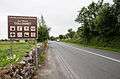
Town approach from Ballysadare
-

Looking up main street
-
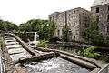
Old Mill building
-
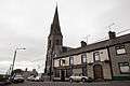
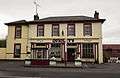
Catholic church and Connolly's Bar
-

Sligo Dublin railway station
-

St. Pauls national school
-
.jpg)
P. Cullen public house (bar)
-

Flynn's Foodstore
-

Old Inishfree Crystal building
-
McGovern's garden centre
-
Quigleys bar and grocer
-
.jpg)
Quigleys bar and grocer (interior)
-

Basil Higgins family butcher
-

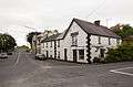
The Owenmore Inn
-
.jpg)
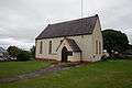
St. Pauls Church (Church of Ireland)
-
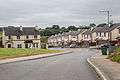
A modern housing development outside town
-

Teeling monument
-

Connolly Park, Owenmore Gaels G.F.C.
-

Garda station
See also
External links
References
- ↑ "Collooney station" (PDF). Railscot - Irish Railways. Retrieved 2007-09-07.
Places in County Sligo | ||
|---|---|---|
| Towns | 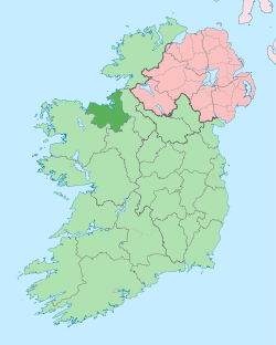 | |
| Villages and Townlands |
| |
| Islands | ||
| ||