Collado Villalba
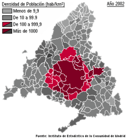
Collado Villalba is a municipality in the autonomous community of Madrid in central Spain. It is located 39 kilometres north-west of Madrid the capital city of Spain, at an altitude of 917m above sea level. It has a population density of about 2,184.49 hab./km². The climate of Collado Villalba is Mediterranean-continental.
I.E.S Lázaro Cárdenas of Collado Villalba conducts an annual School to School Exchange with Woburn Memorial High School in Woburn, MA USA. It has been managed by Professor Ramón José García Rubio for over 20 years.In addition to this school to school exchange, the municipality has been twinned since 1991 with the French city of Bègles, located in the Bordeaux metropolitan area in Southwestern France.
I.E.S María Guerrero of the same town have started to make an exchange with the high school Minervaskolan of Umeålocated 600 kilometres on the north of Stockholm, in Sweden

City Council
See also
External links
|
|---|
|
| 3,000,000+ | | |
|---|
|
| 200,000+ | |
|---|
|
| 150,000+ | |
|---|
|
| 100,000+ | |
|---|
|
| 50,000+ | |
|---|
|
| 25,000+ | |
|---|
|
|---|
|
| 3,000,000+ | | |
|---|
|
| 200,000+ | |
|---|
|
| 150,000+ | |
|---|
|
| 100,000+ | |
|---|
|
| 50,000+ | |
|---|
|
| 25,000+ | |
|---|
|
under
25,000 | |
|---|
_mapa.svg.png)