Col de l'Épine (Haute-Savoie)
| Col de l'Épine | |
|---|---|
.jpg) | |
| Elevation | 947 m (3,107 ft) |
| Traversed by | D162 |
| Location | Haute-Savoie, France |
| Range | Alps |
| Coordinates | 45°46′45″N 6°20′56″E / 45.77917°N 6.34889°ECoordinates: 45°46′45″N 6°20′56″E / 45.77917°N 6.34889°E |
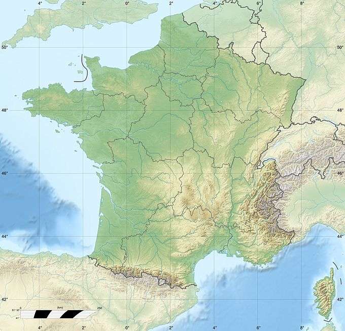 Col de l'Épine Location of Col de l'Épine | |
Col de l'Épine (elevation 947 m (3,107 ft)) is a paved mountain pass in the Aravis range in the Alps. Located in the department of the Haute-Savoie it connect Marlens to Serraval. It is reached and crossed by the D161 local road.
The Tour de France crossed the Col de l'Épine in 1995, 2007 and 2013.[1]
References
- ↑ "Le col de l'Epine dans le Tour de France". ledicodutour.com. Retrieved 7 June 2016.
This article is issued from Wikipedia - version of the 6/8/2016. The text is available under the Creative Commons Attribution/Share Alike but additional terms may apply for the media files.