Col de Cou
| Col de Cou | |
|---|---|
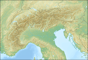 Col de Cou Location in the Alps | |
| Elevation | 1,921 m (6,302 ft)[1] |
| Traversed by | Trail |
| Location |
Valais, Switzerland Haute-Savoie, France |
| Range | Alps |
| Coordinates | 46°09′01″N 06°47′34″E / 46.15028°N 6.79278°ECoordinates: 46°09′01″N 06°47′34″E / 46.15028°N 6.79278°E |
The Col de Cou (also spelled Col de Coux) (1,921 m) is a high mountain pass of the Alps, located on the border between Switzerland and France. It connects Champéry in the Swiss canton of Valais to Morzine in the French department of Haute-Savoie. It is the lowest border crossing between the Pas de Morgins and the Dents du Midi.
References
External links
This article is issued from Wikipedia - version of the 1/23/2016. The text is available under the Creative Commons Attribution/Share Alike but additional terms may apply for the media files.