Coffins Corner, New Jersey
| Coffins Corner, New Jersey | |
|---|---|
| Unincorporated community | |
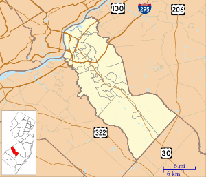 Coffins Corner Location in Camden County (Inset: Camden County in New Jersey) | |
| Coordinates: 39°51′36″N 74°59′20″W / 39.86000°N 74.98889°WCoordinates: 39°51′36″N 74°59′20″W / 39.86000°N 74.98889°W | |
| Country | United States |
| State | New Jersey |
| County | Camden |
| Township | Cherry Hill |
| Elevation | 105 ft (35 m) |
| Time zone | Eastern (EST) (UTC-5) |
| • Summer (DST) | EDT (UTC-4) |
| Area code(s) | 856 |
| GNIS feature ID | 875534[1] |
Coffins Corner is an unincorporated community located within Cherry Hill Township, in Camden County, New Jersey, United States.[2] Located near the border of Voorhees, Coffins Corner is at the crossroads of County Route 561 (Haddonfield-Berlin Road), County Route 544 (Evesham Road), and County Route 678 (Somerdale Road).
References
Municipalities and communities of Camden County, New Jersey, United States | ||
|---|---|---|
| Cities |  | |
| Boroughs | ||
| Townships | ||
| CDPs | ||
| Other unincorporated communities | ||
This article is issued from Wikipedia - version of the 11/12/2015. The text is available under the Creative Commons Attribution/Share Alike but additional terms may apply for the media files.