Clyde Inlet
| Clyde Inlet | |
|---|---|
 Location | |
| Location | Baffin Island |
| Coordinates | 70°19′N 68°19′W / 70.317°N 68.317°WCoordinates: 70°19′N 68°19′W / 70.317°N 68.317°W |
| Ocean/sea sources | Baffin Bay |
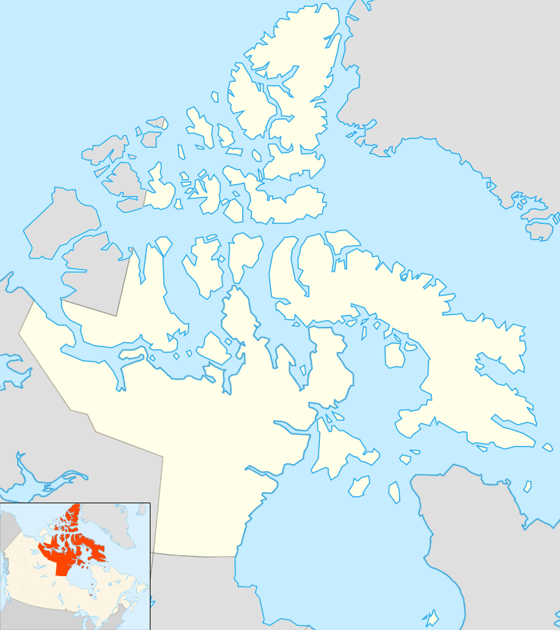
| Basin countries | Nunavut, Canada |
| Max. length | 120 km (75 mi) |
| Max. width | 16 km (9.9 mi) |
Clyde Inlet is a body of water in eastern Baffin Island, Qikiqtaaluk Region, Nunavut. Its mouth opens into the Davis Strait from the west.
The Inuit community of Clyde River is located on the inlet's Patricia Bay.
Geography
At one time, before its deglaciation, Clyde Inlet was a 120 km (75 mi) long fjord.[1]
The Clyde Inlet system includes three main geographic features, the 12 km (7.5 mi) long Patricia Bay close to the northern side of the entrance, where the inhabited settlement of Clyde River is located, as well as two long fjords branching roughly about 20 km (12 mi) from the mouth of the bay with their heads in the SW.
Clyde Fiord
The Clyde Fiord, or Clyde Inlet proper, is the northern branch. It is 95 km (59 mi) long and has the Clyde River at its head,[2]
Inugsuin Fiord
The Inugsuin Fiord in the south is 90 km (56 mi) long and has a number of unnamed islands at its mouth.[3]
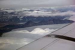 View of Clyde Inlet. |
See also
References
- ↑ Briner, J.P.; Overeem, I.; Miller, G.; Finkel, R. (2006-12-13). "The deglaciation of Clyde Inlet, northeastern Baffin Island, Arctic Canada". Journal of Quaternary Science. John Wiley & Sons, Ltd. 22 (3): 223–232. doi:10.1002/jqs.1057. Retrieved 2008-09-22.
- ↑ "Clyde River". Mapcarta. Retrieved 1 May 2016.
- ↑ "Clyde Inlet". Mapcarta. Retrieved 1 May 2016.