Clarence Square
| Clarence Square | |
|---|---|
 | |
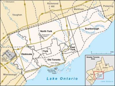 Location of the square in Toronto | |
| Type | Public Park |
| Location | Toronto, Ontario, Canada |
| Coordinates | 43°38′39″N 79°23′38″W / 43.64417°N 79.39389°WCoordinates: 43°38′39″N 79°23′38″W / 43.64417°N 79.39389°W |
| Operated by | Toronto Parks |
| Website | Clarence Square |
Clarence Square is a small park in downtown Toronto, Ontario, Canada, where Wellington Street West meets Spadina Avenue. It is a relatively quiet and shady park, with many large trees and a spacious grassy terrain. There are several benches and picnic tables scattered throughout and a drinking fountain in the centre.
The origins of the name of the square is unclear, but both are linked to members of the British Royal Family, Prince William Henry or Albert Victor, Duke of Clarence with the former being the likely name as the name appeared on maps in the 1850s.[1]
In the northwest corner of the park is a historical plaque honouring Alexander Dunn,[2] born near the park, who was the first Canadian recipient of the Victoria Cross. In 1854, he was a participant in the charge of the Light Brigade at Balaclava, saving the lives of two fellow soldiers. Hugh John Macdonald, son of Prime Minister Sir John Alexander Macdonald also lived in the area (#304).[3]
Clarence Square is one of the oldest remaining park spaces in the downtown core of Toronto. The park became a largely neglected space however when the rail yards and industrial warehouses inhabited areas adjacent to the park. Today however, industry has left the neighbourhood and the area is primarily residential and commercial.
Historic buildings along Clarence Square include:[4]
- Clarence Terrace (5-15 and 6-16 Clarence Square) built in 1879-1890
- Steele Briggs Seed Company warehouse (2 Clarence Square [now 49 Spadina Ave.]) built in 1911
References
- ↑ http://tayloronhistory.com/2012/06/09/history-of-toronto-clarence-square-on-spadina-south-of-king-st-w/
- ↑ Arthur Bishop (January 1, 2004). "Canada And The Victoria Cross: Part 1 of 18". Legion Magazine. Retrieved February 2012. Check date values in:
|access-date=(help) - ↑ http://tayloronhistory.com/2012/06/09/history-of-toronto-clarence-square-on-spadina-south-of-king-st-w/
- ↑ "King Spadina" (PDF). Toronto Urban Design Guidelines. City of Toronto. June 2004. Retrieved 2012-06-17.
External links
- Official website
- City of Toronto – King-Spadina Urban Design Guidelines
-
 Media related to Clarence Square at Wikimedia Commons