Churchill Falls Airport
| Churchill Falls Airport | |||||||||||
|---|---|---|---|---|---|---|---|---|---|---|---|
|
IATA: ZUM – ICAO: CZUM – WMO: 71182 | |||||||||||
| Summary | |||||||||||
| Airport type | Public | ||||||||||
| Owner/Operator | Churchill Falls (Labrador) Corp. | ||||||||||
| Location | Churchill Falls, Newfoundland and Labrador | ||||||||||
| Time zone | AST (UTC−04:00) | ||||||||||
| • Summer (DST) | ADT (UTC−03:00) | ||||||||||
| Elevation AMSL | 1,442 ft / 440 m | ||||||||||
| Coordinates | 53°33′45″N 064°06′21″W / 53.56250°N 64.10583°WCoordinates: 53°33′45″N 064°06′21″W / 53.56250°N 64.10583°W | ||||||||||
| Map | |||||||||||
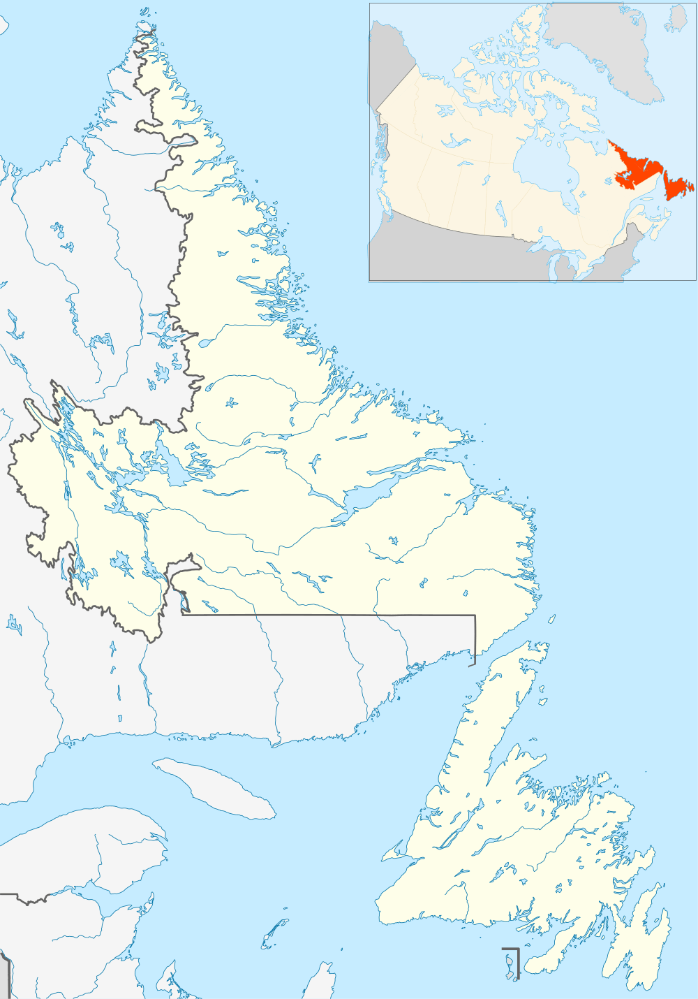 CZUM | |||||||||||
| Runways | |||||||||||
| |||||||||||
Churchill Falls Airport (IATA: ZUM, ICAO: CZUM) is owned and operated by Churchill Falls Labrador Corporation Limited. Provincial Airlines provides regularly scheduled passenger service at the airport, which handled about 1,400 passengers annually over between 2000 and 2003. The airport is located 4 nautical miles (7.4 km; 4.6 mi) northwest of Churchill Falls, Newfoundland and Labrador, Canada.
Four small structures are the only buildings, as the airport has no formal terminal.
Airlines and destinations
| Airlines | Destinations |
|---|---|
| Provincial Airlines | Goose Bay, Wabush |
Historical airline service
The airport had scheduled passenger jet service during the 1970s operated by Eastern Provincial Airways with nonstop Boeing 737-200 jetliner flights to Goose Bay and Wabush with connecting service to Halifax and other cities in eastern Canada.[4]
References
- ↑ Canada Flight Supplement. Effective 0901Z 15 September 2016 to 0901Z 10 November 2016
- ↑ Synoptic/Metstat Station Information Archived December 1, 2011, at the Wayback Machine.
- ↑ Airport Divestiture Status Report Archived March 3, 2016, at the Wayback Machine.
- ↑ Feb. 1, 1976 North American Official Airline Guide (OAG), Churchill Falls flight schedules
External links
- Page about this airport on COPA's Places to Fly airport directory
This article is issued from Wikipedia - version of the 12/4/2016. The text is available under the Creative Commons Attribution/Share Alike but additional terms may apply for the media files.