Christian River
| Christian River | |
| Country | United States |
|---|---|
| State | Alaska |
| Census Area | Yukon–Koyukuk |
| Source | Brooks Range |
| - location | southwest of Shark Edge Mountain |
| - elevation | 3,304 ft (1,007 m) [1] |
| - coordinates | 68°04′46″N 145°23′07″W / 68.07944°N 145.38528°W [2] |
| Mouth | Cutoff Slough of Yukon River [2] |
| - location | 17 miles (27 km) northwest of Fort Yukon, Yukon Flats National Wildlife Refuge |
| - elevation | 404 ft (123 m) [2] |
| - coordinates | 66°38′09″N 145°49′43″W / 66.63583°N 145.82861°WCoordinates: 66°38′09″N 145°49′43″W / 66.63583°N 145.82861°W [2] |
| Length | 140 mi (225 km) [2] |
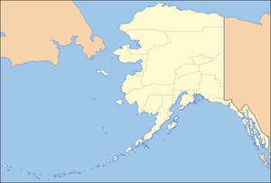 Location of the mouth of the Christian River in Alaska
| |
The Christian River is a 140-mile (230 km) tributary of the Yukon River in the U.S. state of Alaska.[2] Beginning near Shark Edge Mountain in the southern Brooks Range, it flows generally south to Cutoff Slough and thence to the larger river. The mouth is in the Yukon Flats National Wildlife Refuge 17 miles (27 km) northwest of Fort Yukon.[2]
See also
References
- ↑ Derived by entering source coordinates in Google Earth.
- 1 2 3 4 5 6 7 "Christian River". Geographic Names Information System. United States Geological Survey. March 31, 1981. Retrieved November 1, 2013.
This article is issued from Wikipedia - version of the 9/10/2016. The text is available under the Creative Commons Attribution/Share Alike but additional terms may apply for the media files.