Chorman Airport
| Chorman Airport | |||||||||||
|---|---|---|---|---|---|---|---|---|---|---|---|
| IATA: none – ICAO: none – FAA LID: D74 | |||||||||||
| Summary | |||||||||||
| Airport type | Public use | ||||||||||
| Owner | Allen Chorman | ||||||||||
| Serves | Farmington, Delaware | ||||||||||
| Elevation AMSL | 66 ft / 20 m | ||||||||||
| Coordinates | 38°50′58″N 075°36′46″W / 38.84944°N 75.61278°WCoordinates: 38°50′58″N 075°36′46″W / 38.84944°N 75.61278°W | ||||||||||
| Map | |||||||||||
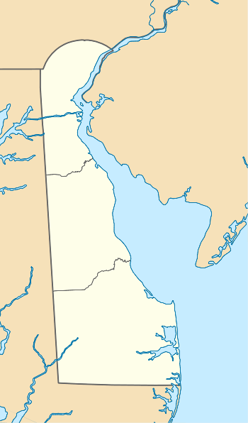 D74  D74 Location of airport in Delaware/United States | |||||||||||
| Runways | |||||||||||
| |||||||||||
| Statistics (2011) | |||||||||||
| |||||||||||
Chorman Airport (FAA LID: D74) is a public use airport located two nautical miles (4 km) southwest of the central business district of Farmington, a town in Kent County, Delaware, United States.[1] It is privately owned by Allen Chorman.[1]
Facilities and aircraft
Chorman Airport covers an area of 134 acres (54 ha) at an elevation of 66 feet (20 m) above mean sea level. It has one runway designated 16/34 with an asphalt surface measuring 3,588 by 37 feet (1,094 x 11 m).[1]
For the 12-month period ending December 31, 2011, the airport had 14,600 general aviation aircraft operations, an average of 40 per day. At that time there were 19 aircraft based at this airport: 89.5% single-engine and 10.5% multi-engine.[1]
See also
References
- 1 2 3 4 5 FAA Airport Master Record for D74 (Form 5010 PDF). Federal Aviation Administration. Effective November 15, 2012.
External links
- "Chorman Airport (D74)" (PDF). at Delaware DOT airport directory
- Aerial image as of March 1992 from USGS The National Map
- Resources for this airport:
- FAA airport information for D74
- AirNav airport information for D74
- FlightAware airport information and live flight tracker
- SkyVector aeronautical chart for D74
This article is issued from Wikipedia - version of the 12/4/2016. The text is available under the Creative Commons Attribution/Share Alike but additional terms may apply for the media files.