Chopwell
| Chopwell | |
 The main street of Chopwell |
|
 Chopwell |
|
| Population | 3,096 (2011)[1] |
|---|---|
| OS grid reference | NZ119582 |
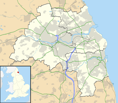
| Metropolitan borough | Gateshead |
| Metropolitan county | Tyne and Wear |
| Region | North East |
| Country | England |
| Sovereign state | United Kingdom |
| Post town | NEWCASTLE UPON TYNE |
| Postcode district | NE17 |
| Dialling code | 01207 |
| Police | Northumbria |
| Fire | Tyne and Wear |
| Ambulance | North East |
| EU Parliament | North East England |
| UK Parliament | Blaydon |
|
|
Coordinates: 54°55′08″N 1°48′54″W / 54.919°N 1.815°W
Chopwell is a village in Tyne and Wear, located approximately three miles west of Rowlands Gill and one mile north of Hamsterley. The Gateshead MBC ward (called Chopwell and Rowlands Gill) had a population at the Census 2011 of 9,395.[2]
It dates back to at least 1150, evidenced by a written document in which Bishop Pudsey granted the Manor of Chopwell to the first Abbot of Newminster. Newminster Abbey retained possession of the Manor until the dissolution of the Monasteries in 1536.[3]
Traditionally an area of coal mining, Chopwell was nicknamed "Little Moscow" because of the strong support for the Communist Party. Chopwell counts "Marx Terrace" and "Lenin Terrace" among its street names, and during the 1926 General Strike the Union Flag at the council offices was taken down and replaced with the Soviet flag.
In 1974, Chopwell became part of the metropolitan county of Tyne and Wear and the metropolitan borough of Gateshead, after previously being part of the administrative county of Durham.
Chopwell is currently home to over 3,000 people.
See also
References
External links
![]() Media related to Chopwell at Wikimedia Commons
Media related to Chopwell at Wikimedia Commons