Chiruvolu
| Chiruvolu | |
|---|---|
| Village | |
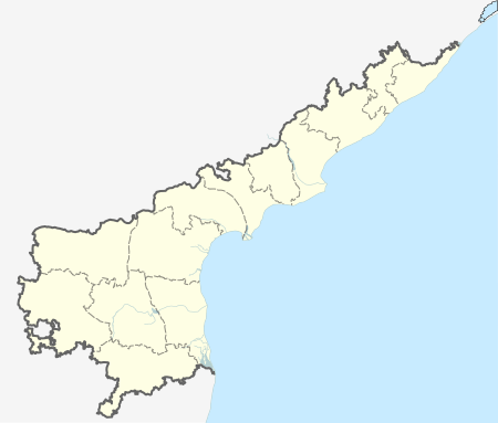
 Chiruvolu  Chiruvolu Location in Andhra Pradesh, India | |
| Coordinates: 16°03′48″N 80°55′10″E / 16.0634583°N 80.9193912°ECoordinates: 16°03′48″N 80°55′10″E / 16.0634583°N 80.9193912°E | |
| Country | India |
| State | Andhra Pradesh |
| District | Krishna |
| Area[1] | |
| • Total | 0.83 km2 (0.32 sq mi) |
| Population (2011)[2] | |
| • Total | 755 |
| • Density | 910/km2 (2,400/sq mi) |
| Languages | |
| • Official | Telugu |
| Time zone | IST (UTC+5:30) |
Chiruvolu is a village in Krishna district of the Indian state of Andhra Pradesh. It is located in Mopidevi mandal of Machilipatnam revenue division.[2][3] It is one of the villages in the mandal to be a part of Andhra Pradesh Capital Region.[1]
References
- 1 2 "Declaration of A.P. Capital Region" (PDF). Andhra Nation. Municipal Administration and Urban Development Department. 22 September 2015. Retrieved 5 October 2015.
- 1 2 "District Census Handbook - Krishna" (PDF). Census of India. p. 16,466. Retrieved 13 February 2016.
- ↑ "District Level Mandal wise List of Villages in Andhra Pradesh" (PDF). Chief Commissioner of Land Administration. National Informatics Centre. p. 9. Archived from the original (PDF) on 10 December 2014. Retrieved 19 September 2015.
This article is issued from Wikipedia - version of the 8/27/2016. The text is available under the Creative Commons Attribution/Share Alike but additional terms may apply for the media files.