Chiredzi
| Chiredzi north | ||
|---|---|---|
| Town | ||
| ||
| Nickname(s): Chilas | ||
 Chiredzi | ||
| Coordinates: 21°02′20″S 31°40′40″E / 21.03889°S 31.67778°ECoordinates: 21°02′20″S 31°40′40″E / 21.03889°S 31.67778°E | ||
| Country |
| |
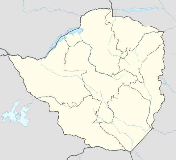
| Province | Masvingo | |
| District | Chiredzi | |
| Established | late 19th century | |
| Elevation | 438 m (1,437 ft) | |
| Population (2002)[1] | ||
| • Total | 26,129 | |
| • Estimate (2010) | 30,430 | |
| estimated | ||
| Time zone | CAT (UTC+2) | |
| • Summer (DST) | not observed (UTC+2) | |
| Area code(s) | 031 | |
| Climate | BSh | |
| Website |
www | |
Chiredzi is a small town in Masvingo province in south-east Zimbabwe.
Background
Chiredzi is a town in the Masvingo Province of Zimbabwe, near the Runde River. It is the administrative center for Chiredzi District and it is where both the rural and district councils are based.
It is served by a small international airport at Buffalo Range called Buffalo Range Airport (BFO).[2] The non-profit organization the Elias Fund has its Zimbabwean base of operations in Chiredzi. The Mashoko/Hippo Valley Christian Mission also had headquarters in Chiredzi, from which it oversees two orphanages and a number of schools and churches throughout the province.
Population
The census of 2002 recorded the population of the town at 26,129. Hippo Valley Hospital, found in the district, is one of a numbers of center for HIV/AIDS treatment in the province.[3]
References
- ↑ "Zimbabwe - Largest Cities (per geographical entity)". World Gazetteer. Retrieved 25 July 2011.
- ↑ "Airport Information - Buffalo Range Airport, Chiredzi, Zimbabwe". P.L.M. van Smeden. Retrieved 27 July 2011.
- ↑ AIDS treatment centers (accessed 18 February 2008)